Cycling map prints of your own rides
A sportive, a century, a climb you finally got up, or the loop you ride every Sunday, drawn from your bike computer onto the roads and hills it went through.


Cycling gifts they'll actually hang
Order it now and they send their file when they're ready. The first look comes to you, so the surprise holds.
£45 unframed Launch price until 31 December
£55 from 1 January · £99 framed
Free delivery to the UK, US, Canada, Australia and New Zealand
What a cycling print shows
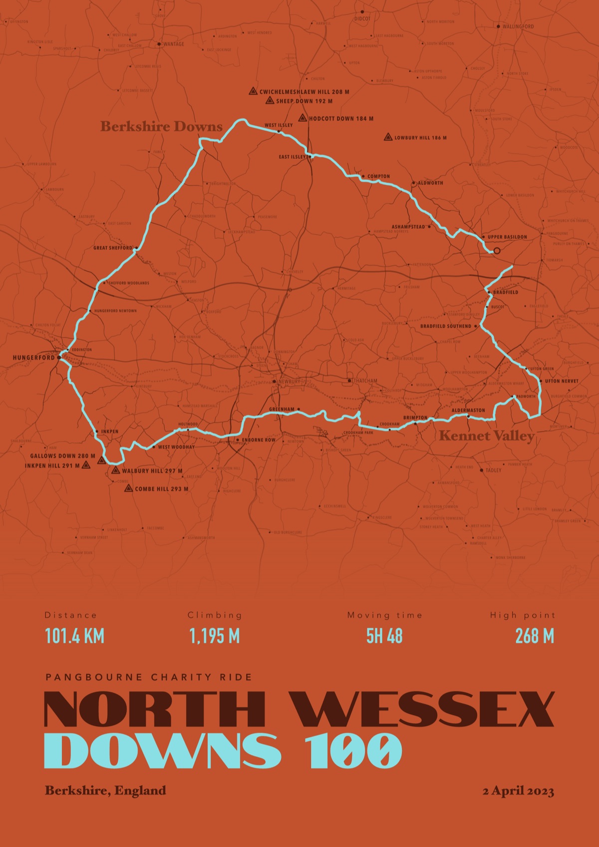
The roads you rode
The lanes and main roads around the route, so the line reads as a ride and not a squiggle.
The climbs named
Hills and high points with their heights, the ones you'll want to talk about.
The stats you choose
Distance, climbing, moving time and high point, or none of them if you'd rather keep it clean.
Works with Garmin Edge, Wahoo, Hammerhead, Strava, Komoot, RideWithGPS, or any app that exports GPX or FIT.
Good questions
Can I print a ride straight from Strava?
Yes. Paste the Strava link when you order, as long as the activity is public, or download the GPX and upload it.
Will my house be on the print?
Only if your file shows it. If you use a privacy zone on Strava, that part stays hidden from us and off the print, and you see the first look before anything is printed.
Will a 200 km ride fit?
Yes. The map scales to the ride, so a long sportive fits as well as a short loop.
What about gravel rides, bikepacking and e-bikes?
Yes, all three. Gravel prints draw the tracks and byways as well as the roads, a bikepacking tour joins every day into one line, and an e-bike ride draws like any other.
Recorded it? We'll draw it
Send the file from your watch or phone, pick the colours, and we'll take it from there
Make yours