Personalised hiking map prints
Summit days, coast paths and Sunday loops, drawn from your own track with the paths, hills and villages named.
£45 unframed Launch price until 31 December
£55 from 1 January · £99 framed
Free delivery to the UK, US, Canada, Australia and New Zealand
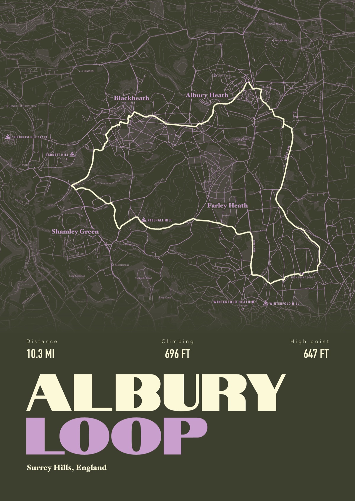
What's on your hiking print
Hills first
Every named hill on the map gets its height. The ones you climbed stand out.
Paths, not just roads
Footpaths, bridleways, woods and commons, lettered along the way.
Miles or kilometres
Your call, and it changes every figure on the print.
Framed and hung


Snowdon, Ben Nevis and Scafell Pike
Climbed one of the Three Peaks, or all three? Send the track and every summit gets its height on the map, bigger than any village.
What works
Komoot, AllTrails, OS Maps, Strava, Garmin and Apple Watch all export files we can use.
Upload it when you order, paste a Strava link, or send it later if it's a gift.
Buying for a walker
Order it now and they send their route when they're ready. The first look comes to you, so the surprise holds.
The walks people plan for
Where the paths start, how far and how steep, and which one to pick.
- Snowdon routesSix: Llanberis, Pyg, Miners', Rhyd Ddu, Snowdon Ranger and Watkin
- Ben Nevis routesTwo: the Mountain Track and the CMD Arête
- Scafell Pike routesFour, from Wasdale Head, Seathwaite in Borrowdale and Great Langdale
- Yorkshire Three Peaks walk24 miles (38.6 km) loop with 1,585 m (5,200 ft) of climbing
- Pen y Fan routesFive, from Pont ar Daf, Storey Arms, Cwm Gwdi and the Taf Fechan Forest
- Helvellyn routesFive, three from Glenridding and two from Thirlmere
- Catbells walkThree: the Hawes End loop, the walk in from Keswick and the Newlands side
- Ben Lomond walkTwo: the Tourist Path and the Ptarmigan ridge, both from Rowardennan
Still deciding? Design yours for free
Pick your sport, try the colours and type your own title. The design tool shows your print as you go, and nothing's ordered until you check out.
See how yours could look