Angels Landing hike
One trail up a fin of sandstone to 5,790 ft above Zion Canyon, with a chain to hold for the last half mile. Where it starts, how the permit lottery works, how far you can go without one, and your own hike drawn as a print.
Angels Landing at a glance
- Summit
- Angels Landing, 5,790 ft (1,765 m), above the Virgin River in Zion Canyon
- The hike
- 5.4 miles (8.7 km) there and back from the Grotto, permit by lottery
- Climbing
- 1,488 ft (454 m), most of it on the West Rim Trail
- The chains
- The last half mile, on a ridge under 3 ft wide in places with drop-offs of up to 1,000 ft
- Permit
- Needed by everyone going past Scout Lookout, through Recreation.gov
The Angels Landing hike, section by section
The Grotto to Scout Lookout
4.5 miles (7.2 km) there and back · 1,000 ft (305 m) of climbing · 1 to 2 hours up · starts at the Grotto, shuttle stop 6
Over the river and up the sandy West Rim Trail, into the shade of Refrigerator Canyon, then the 21 tight switchbacks of Walter's Wiggles, built in 1924. Scout Lookout has toilets and a view of the ridge ahead. No permit needed to here, so it's the turnaround if the lottery didn't go your way.
The full hike, chains and all
5.4 miles (8.7 km) there and back · 1,488 ft (454 m) of climbing · about 4 hours · starts at the Grotto, shuttle stop 6
Everything above, then the ridge to the top and back the same way. The park reckons on about four hours, and at least half a day is more realistic once you've queued on the chains. Go early: summer afternoons in the canyon are properly hot.
The chains to the summit
Half a mile each way from Scout Lookout · 1 to 2 hours · permit holders only
A single chain bolted along a knife-edge ridge, with rock steps cut into the stone and sheer drops either side. Two-way traffic on a path a few feet wide means patience at the pinch points. Don't try it wet, and leave it alone if heights get to you.
Distances, climbs, times and permit rules from the US National Park Service (Zion National Park), read October 2026; summit height from Visit Utah. Check the weather and your permit before you go.
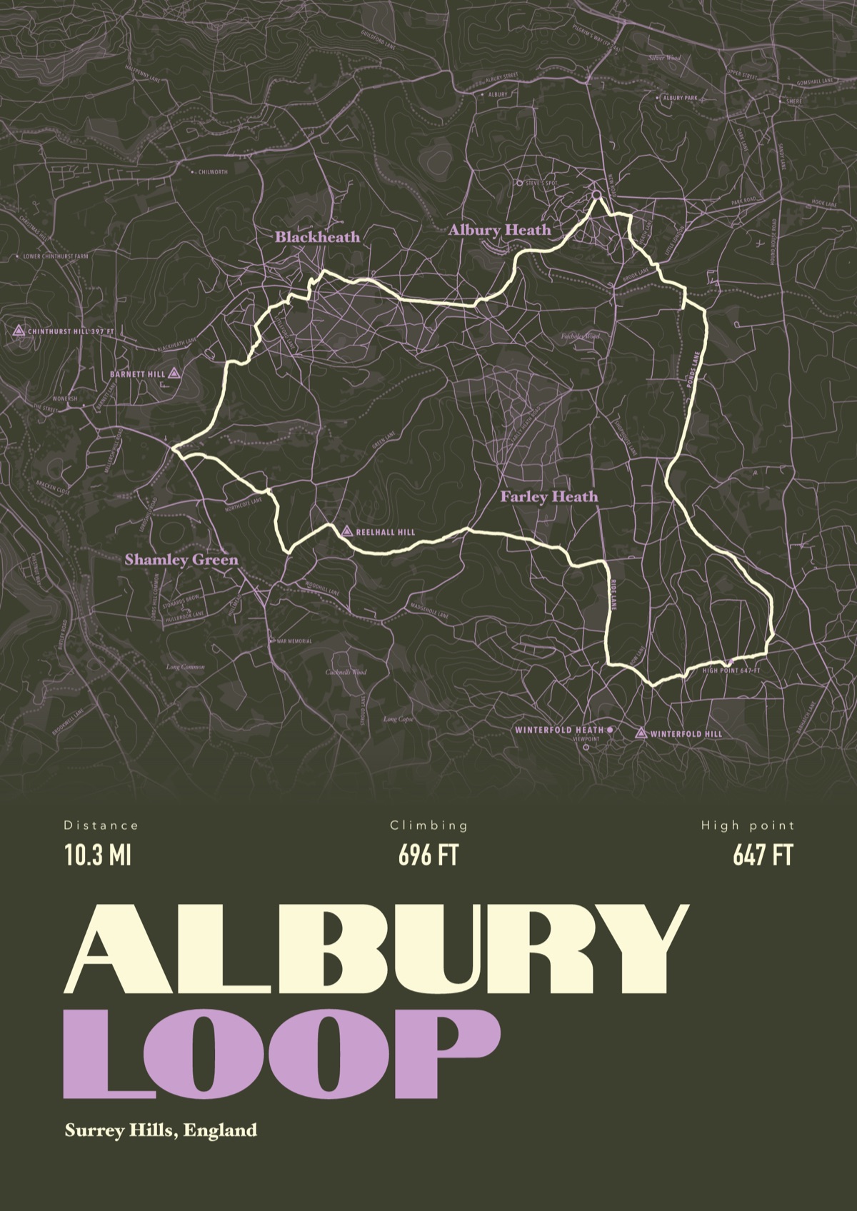
Your way up Angels Landing, drawn
Your own path up and down, drawn from your phone or watch onto the mountain, with the summits, lakes and villages named.
The print shown is a walk in the Surrey Hills. Yours is drawn from your own day on Angels Landing.
£45 unframed Launch price until 31 December
£55 from 1 January · £99 framed
Free delivery to the UK, US, Canada, Australia and New Zealand
Good questions
Do you need a permit to hike Angels Landing?
Yes. Everyone going beyond Scout Lookout needs one, from the Recreation.gov lottery. You don't need a permit to hike as far as Scout Lookout.
How does the Angels Landing lottery work?
There are two. The seasonal lottery covers three-month blocks and you rank the days you want; the window for 1 December 2026 to 28 February 2027 runs from 1 to 20 October 2026. The day-before lottery opens at 12:01 am and closes at 3 pm Mountain Time the day before you hike. It costs $6 to apply for up to six people, then $3 each if you win.
How long does the Angels Landing hike take?
About four hours for the 5.4 miles there and back, according to the National Park Service, and often longer with queues on the chains. Allow 1 to 2 hours just for the half mile of chains from Scout Lookout.
Can you hike Angels Landing without a permit?
Only as far as Scout Lookout: 2.25 miles from the Grotto with 1,000 ft of climbing, through Refrigerator Canyon and up Walter's Wiggles. The chains and the summit need a permit.
How do you get to the Angels Landing trailhead?
It starts at the Grotto, shuttle stop 6 in Zion Canyon, 0.6 miles past Zion Lodge. The free park shuttle runs for most of the year, so you park at the Visitor Center or in Springdale and ride in.
Can I get a print of my own Angels Landing hike?
Yes. Send the file from your phone or watch, Strava, Komoot or any app that exports GPX, and we draw your route up the canyon with Angels Landing, Scout Lookout and the Virgin River named.
You walked it, now frame it
Send the file from your phone or watch, pick the colours, and we'll take it from there
Make yours