Ben Lomond walk
Ben Lomond is the most southerly Munro, 974 m above the east shore of Loch Lomond, and more than 50,000 people a year set off up it. The two ways up from Rowardennan, how long they take, and your own walk drawn as a print.
Ben Lomond at a glance
- Summit
- Ben Lomond, 974 m (3,196 ft), the most southerly Munro
- Main routes
- Two: the Tourist Path and the Ptarmigan ridge, both from Rowardennan
- Main path
- The Tourist Path, up and down the same way
- Hardest
- The Ptarmigan ridge, steeper and rockier
- Grading
- The National Trust for Scotland grades it Hard
The routes up Ben Lomond
Tourist Path
8 miles (13 km) there and back · 930 m (3,050 ft) of climbing · 4 to 6 hours · starts at Rowardennan car park
The main path, well built and well used. A mile of woodland, then open hill to the shoulder at Sron Aonaich, where it eases off before the stone-pitched zigzags up the summit cone. The last stretch runs close to the edge of a steep northern corrie, so keep to the path in cloud.
Ptarmigan ridge loop
7.5 miles (12 km) loop · 990 m (3,248 ft) of climbing · 4.5 to 5.5 hours · starts at Rowardennan car park
Up the Tourist Path and down the Ptarmigan ridge, or the other way round. From the summit a steep rocky drop leads to a col and the 731 m top of Ptarmigan, then a knobbly ridge with the loch below and the Arrochar Alps across the water. Narrow and rocky in places, muddy lower down.
Tourist Path figures from the National Trust for Scotland, Ptarmigan loop from Walkhighlands, read October 2026. Check the mountain forecast before you go.
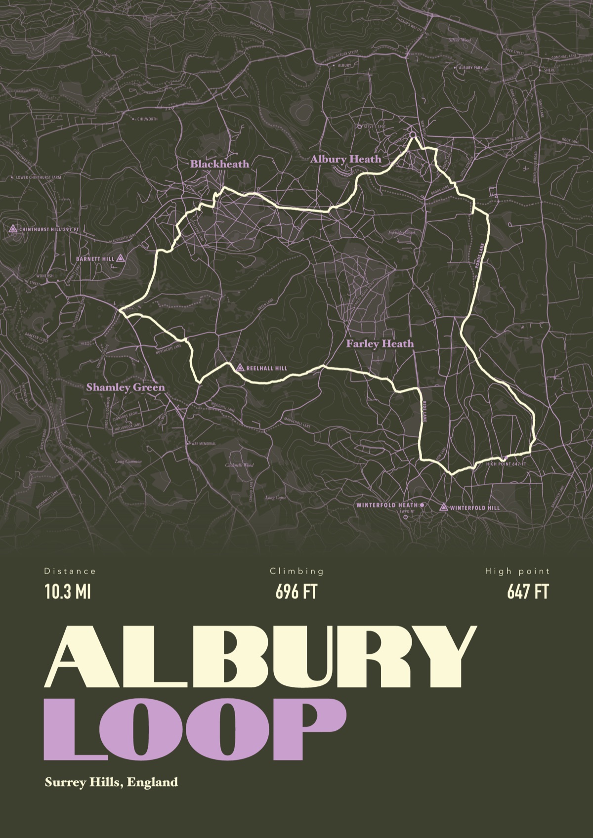
Your way up Ben Lomond, drawn
Your own path up and down, drawn from your phone or watch onto the mountain, with the summits, lakes and villages named.
The print shown is a walk in the Surrey Hills. Yours is drawn from your own day on Ben Lomond.
£45 unframed Launch price until 31 December
£55 from 1 January · £99 framed
Free delivery to the UK, US, Canada, Australia and New Zealand
Good questions
How long does it take to climb Ben Lomond?
Most people take two and a half to four hours to reach the summit and 4 to 6 hours there and back, according to the National Trust for Scotland.
Is Ben Lomond hard?
The Trust grades it Hard: 8 miles there and back with 930 m of climbing. The path is good, but the weather changes fast, so carry waterproofs and warm layers whatever it looks like at the car park.
Where do you park for Ben Lomond?
Rowardennan car park, on the east side of the loch. Forestry and Land Scotland charge £5 a day, and there are toilets at the start.
Can you get to Ben Lomond without a car?
There's no bus to Rowardennan, but a summer ferry crosses from Tarbet, which has buses from Glasgow and Balloch.
Can you climb Ben Lomond in winter?
Yes, with winter kit and the skills to use it. The Trust says the Ptarmigan route under ice and snow is only for people fully equipped with crampons and an ice axe who know how to use them.
Can I get a print of my own Ben Lomond walk?
Yes. Send the file from your phone or watch, Strava, Komoot or any app that exports GPX, and we draw your route with Loch Lomond, its islands and the summit named.
You walked it, now frame it
Send the file from your phone or watch, pick the colours, and we'll take it from there
Make yours