Ben Nevis routes
Two main routes lead to the top of Ben Nevis, 1,345 m and the highest mountain in Britain. Where each one starts, how far and how steep it is, which suits a first go, and your own walk drawn as a print.
Ben Nevis at a glance
- Summit
- Ben Nevis, 1,345 m (4,413 ft), the highest mountain in Britain
- Main routes
- Two: the Mountain Track and the CMD Arête
- Most popular
- The Mountain Track, from the Glen Nevis Visitor Centre
- Hardest
- The Càrn Mòr Dearg Arête, a 10 to 11 hour day with easy scrambling
- Looked after by
- The John Muir Trust on the upper mountain, the Nevis Landscape Partnership lower down
The routes up Ben Nevis
The Mountain Track
10.5 miles (17 km) there and back · 1,352 m (4,436 ft) of climbing · 7 to 9 hours · starts at the Glen Nevis Visitor Centre
The standard way up and the busiest. It used to be called the tourist path, which undersold it: steep from the first zigzag, and very rough and stony above the halfway lochan. A path from Glen Nevis Youth Hostel joins lower down and saves a little, but there's hardly any parking there.
The Càrn Mòr Dearg Arête
11 miles (17.5 km) loop · 1,506 m (4,941 ft) of climbing · 10 to 11 hours · starts at the North Face car park, near Torlundy
Up the Allt a' Mhuilinn below the north face, over Càrn Mòr Dearg, then round the curving arête to the Ben, beneath its great cliffs. Keeping to the crest means easy scrambling over blocks, with a bypass path to the left. Two Munros in a day, for fit walkers happy with their hands on rock. You come down the Mountain Track, then ford the burn back to the start, which can be impossible in spate.
Distances, climbs and times from Walkhighlands, read October 2026. Check the mountain forecast before you go.
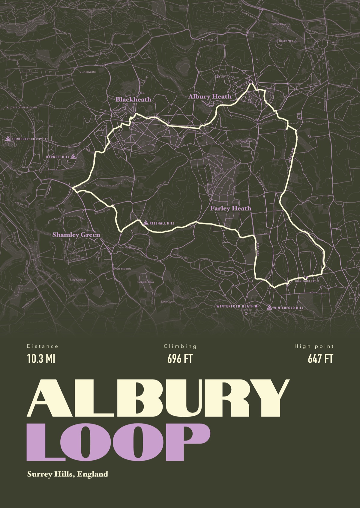
Your way up Ben Nevis, drawn
Your own path up and down, drawn from your phone or watch onto the mountain, with the summits, lakes and villages named.
The print shown is a walk in the Surrey Hills. Yours is drawn from your own day on Ben Nevis.
£45 unframed Launch price until 31 December
£55 from 1 January · £99 framed
Free delivery to the UK, US, Canada, Australia and New Zealand
Good questions
What is the easiest way up Ben Nevis?
The Mountain Track from the Glen Nevis Visitor Centre. It is still 10.5 miles there and back with 1,352 m of climbing, and the upper half is a rough, stony path that is often under snow.
How long does it take to climb Ben Nevis?
Walkhighlands allows 7 to 9 hours there and back on the Mountain Track, and 10 to 11 hours for the CMD Arête loop. Allow longer in bad weather.
Where do you park for Ben Nevis?
At the Glen Nevis Visitor Centre for the Mountain Track, and at the North Face car park near Torlundy for the CMD Arête. Both charge. A bus runs up Glen Nevis between May and September.
When is the best time to climb Ben Nevis?
Summer gives you the best chance of a clear path, but the upper mountain is often snow covered. Any ascent with snow lying on the path needs winter kit and the skills to use it.
What happens if the cloud comes down on the summit?
The plateau sits between the north face cliffs and Five Finger Gully, which has caught out many walkers coming down. Walkhighlands gives the bearings off the top: 231 degrees for 150 m, then 281 degrees. Take a map and compass and know how to use them.
Can I get a print of my own Ben Nevis hike?
Yes. Send the file from your phone or watch, Strava, Komoot or any app that exports GPX, and we draw your route on the mountain with the summit, the halfway lochan and Glen Nevis named.
You walked it, now frame it
Send the file from your phone or watch, pick the colours, and we'll take it from there
Make yours