Catbells walk
Cat Bells is only 451 m, but it climbs like a proper mountain, with a steep nose, a false summit and a bit of hands-on rock near the top. The ways up from Hawes End, Keswick and Newlands, how to get there without a car, and your own walk drawn as a print.
Catbells at a glance
- Summit
- Cat Bells, 451 m (1,480 ft), on the west shore of Derwentwater
- Main routes
- Three: the Hawes End loop, the walk in from Keswick and the Newlands side
- Classic route
- Up the north ridge from Hawes End, back along the lakeshore
- Getting there
- Keswick Launch to Hawes End, or the 77/77A bus from Keswick
- Parking
- No car park, just a layby at Gutherscale with eight spaces
The routes up Catbells
Hawes End loop
3.5 miles (5.7 km) loop · about 3 hours plus stops · starts at Hawes End landing stage, by launch from Keswick
The classic. Zigzags straight up the nose of Skelgill Bank, levels off, then climbs again over a few easy rocky steps to the bare summit. Down to the col at Hause Gate, then back along the shore of Derwentwater past Brandelhow. Stick to the main path up the nose: the National Trust says shortcuts on the flanks wash out into deep scars.
On foot from Keswick
2.5 miles (4 km) one way to Cat Bells · starts in Keswick, via Portinscale
No boat, no bus, no parking to find. Public footpaths through fields and woodland bring you round from town to the foot of the ridge, with tea stops at Lingholm, Nichol End and Portinscale on the way home. Add the Hawes End loop and it's a full day.
The Newlands side, from Little Town
starts at the layby at Little Town, Newlands
The quieter western approach, up out of the Newlands Valley. The layby is small, so this one is for an early start.
Distances and times from Keswick Tourism Association and the Lake District National Park Authority, parking from the National Trust, read October 2026. Check the mountain forecast before you go.
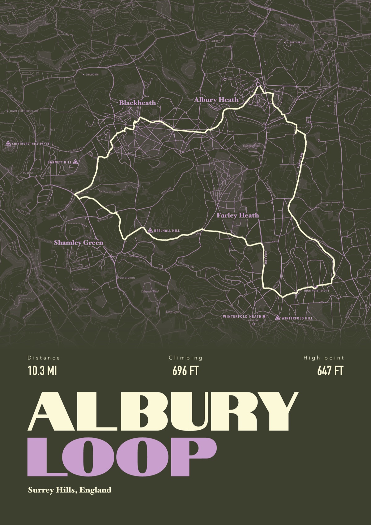
Your way up Catbells, drawn
Your own path up and down, drawn from your phone or watch onto the mountain, with the summits, lakes and villages named.
The print shown is a walk in the Surrey Hills. Yours is drawn from your own day on Catbells.
£45 unframed Launch price until 31 December
£55 from 1 January · £99 framed
Free delivery to the UK, US, Canada, Australia and New Zealand
Good questions
How long does the Catbells walk take?
About three hours plus stops for the 3.5 mile (5.7 km) loop from Hawes End, according to Keswick Tourism Association. Walk in from Keswick and it's 2.5 miles more each way.
Is Catbells suitable for beginners?
It's a good first fell, but not a stroll. The National Trust rangers call it a proper little mountain: expect false summits and short sections where you need your hands. Proper shoes and a jacket help a lot.
Where do you park for Catbells?
There's no car park, only a layby at Gutherscale with eight spaces and another at Little Town. The National Trust suggests parking in Keswick: Park and Sail at Keswick Rugby Club is £4 for the day and gets you 15% off the launch to Hawes End.
Can you get the boat to Catbells?
Yes. Keswick Launch stops at Hawes End, at the foot of the ridge. It runs through spring, summer and autumn and on some winter days, so check the timetable out of season.
Is there a bus to Catbells?
The Honister Rambler 77/77A runs daily from Keswick to Cat Bells from March to November, according to the National Park, and the 78 Borrowdale bus runs all year.
Can I get a print of my own Catbells walk?
Yes. Send the file from your phone or watch, Strava, Komoot or any app that exports GPX, and we draw your route with Derwentwater, the fells and Keswick named.
You walked it, now frame it
Send the file from your phone or watch, pick the colours, and we'll take it from there
Make yours