Grand Canyon rim to rim hike
North Rim to South Rim on foot: down the North Kaibab Trail to the Colorado River and up the South Kaibab or the Bright Angel, about 21 miles one way. The routes, the heat, the permits, what's closed right now, and your own crossing drawn as a print.
Grand Canyon Rim to Rim at a glance
- The crossing
- North Kaibab Trailhead, 8,241 ft (2,512 m), to the South Rim, via the Colorado River
- Main routes
- Two: North Kaibab to South Kaibab, or North Kaibab to Bright Angel
- Shortest
- North Kaibab to South Kaibab, about 21 miles (34 km) one way
- Lowest point
- Bright Angel Campground by the river, 2,480 ft (756 m)
- Permits
- None for a day hike; a backcountry permit for any night below the rim
- Right now
- Closed: the North Kaibab Trail and Phantom Ranch shut after the 29 August 2026 flash flood
The rim to rim routes
North Kaibab to South Kaibab
About 21 miles (34 km) one way · 5,761 ft (1,756 m) down, 4,780 ft (1,457 m) up · starts at the North Kaibab Trailhead, North Rim
The shortest crossing. Fourteen miles down the North Kaibab past Supai Tunnel, Roaring Springs and Cottonwood to the river, then 6.8 miles up the South Kaibab. That last climb has no water at all and very little shade, so it wants an early start.
North Kaibab to Bright Angel
About 23 miles (37 km) one way · 5,761 ft (1,756 m) down, 4,380 ft (1,335 m) up · starts at the North Kaibab Trailhead, North Rim
Two and a half miles longer, but the climb out is gentler and passes Havasupai Gardens, 4.5 miles below the South Rim, with shade and, in a normal year, water. It finishes at the Bright Angel Trailhead on the South Rim.
South to North
Same trails in reverse · finishes at 8,241 ft (2,512 m) on the North Rim
Possible, but you save the biggest climb for last: nearly 5,800 ft up the North Kaibab on tired legs. The North Rim road and services are also only open in season.
Over two or three days
Backcountry permit · corridor camps at Cottonwood, Bright Angel and Havasupai Gardens
The way to take the heat and the hurry out of it. Permits come through an early access lottery on Recreation.gov that closes on the 1st of each month, with up to two nights per campground. A bed at Phantom Ranch, booked ahead, counts instead of a permit.
Distances and elevations from the US National Park Service (Grand Canyon National Park) trail tables; the totals add up the park's own trail figures. Trail status read 2 October 2026: check the park's Key Hiking Messages page before you go.
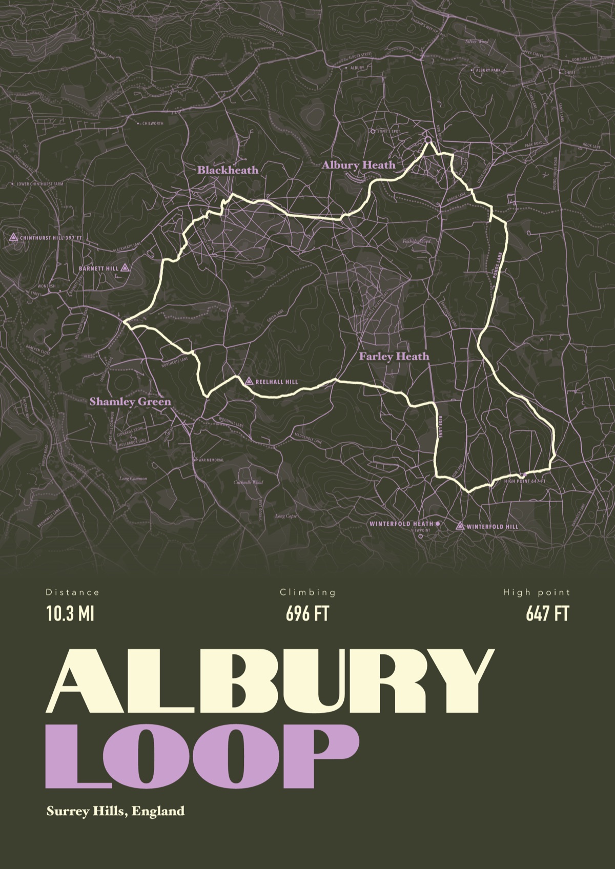
Your Grand Canyon Rim to Rim, drawn
Your own route, drawn from your phone or watch onto the map, with the peaks, huts and villages along the way named.
The print shown is a walk in the Surrey Hills. Yours is drawn from your own walk on Grand Canyon Rim to Rim.
£45 unframed Launch price until 31 December
£55 from 1 January · £99 framed
Free delivery to the UK, US, Canada, Australia and New Zealand
Good questions
Can you hike the Grand Canyon rim to rim right now?
No. A flash flood on 29 August 2026 closed the whole North Kaibab Trail, Phantom Ranch, Bright Angel Campground and both river bridges, and the South Kaibab is shut below Tip-Off. The Bright Angel Trail is open to River Resthouse. As of 28 September 2026 the park has no reopening date.
How long is the Grand Canyon rim to rim hike?
About 21 miles (34 km) one way on the North Kaibab and South Kaibab, or about 23 miles (37 km) finishing on the Bright Angel. The North Kaibab alone is 14 miles from the trailhead to Bright Angel Campground.
Can you do rim to rim in a day?
People do, but the park advises against going rim to river and back in a day, and May to September is when the heat turns dangerous. If you go in summer, avoid hard hiking between 10 am and 4 pm, when the inner canyon can reach 109°F (43°C) in the shade, and carry about a gallon (4 litres) of water a day.
Do you need a permit for rim to rim?
Not for a day hike in a small group. Any night below the rim needs a backcountry permit, unless you've booked Phantom Ranch. Non-commercial groups of 12 to 30 doing an extended day hike need a special use permit, and paid guides can't lead rim to river to rim day hikes.
How do you get back to your car after rim to rim?
By road the rims are about 212 miles apart, roughly four and a half hours' drive. Park-authorised companies run rim to rim buses, or you leave a car at each end. The North Rim is only open in season; in 2026 it's open to 30 November or the first big snowstorm, with no lodging.
Can I get a print of my own rim to rim hike?
Yes. Send the file from your phone or watch, Strava, Komoot or any app that exports GPX, and we draw your crossing with both rims, the Colorado River, Phantom Ranch and the trails named.
You walked it, now frame it
Send the file from your phone or watch, pick the colours, and we'll take it from there
Make yours