Half Dome hike
From the floor of Yosemite Valley past Vernal and Nevada Falls to the top of Half Dome, the last 400 ft on steel cables. Which trail to take up, how the permit lottery works, when the cables are up, and your own hike drawn as a print.
Half Dome at a glance
- Summit
- Half Dome, about 8,800 ft (2,680 m), nearly 5,000 ft above Yosemite Valley
- The hike
- 14 to 16 miles (23 to 26 km) there and back from Happy Isles
- Climbing
- About 4,800 ft (1,460 m)
- Time
- 10 to 12 hours for most people
- Permit
- Needed whenever the cables are up, by lottery through Recreation.gov
- Cables season
- Usually the Friday before Memorial Day to the day after the second Monday in October
The routes up Half Dome
Mist Trail up, John Muir Trail down
About 4,800 ft (1,460 m) of climbing · 10 to 12 hours · starts at Happy Isles, shuttle stop 16
The usual way. The Mist Trail is the short, steep line past both waterfalls, with more than 600 granite steps that are soaked in spray in spring and early summer. Coming down the John Muir Trail is longer but kinder on tired knees. Both meet again above Nevada Fall for Little Yosemite Valley, Sub Dome and the cables.
John Muir Trail both ways
16.2 miles (26 km) there and back · 4,830 ft (1,470 m) of climbing · 10 to 12 hours · starts at Happy Isles, shuttle stop 16
Skips the Mist Trail steps for a longer, gentler zigzag up to Nevada Fall: about 4 miles one way against the Mist Trail's 2.5. The pick when the Mist Trail is icy or heaving with people. The top section, Sub Dome and the cables, is the same.
Over two days, with a wilderness permit
Wilderness permit with Half Dome added · starts at Happy Isles
Backpackers ask for Half Dome on their wilderness permit application rather than entering the day lottery. Camping partway up splits the climb and puts you on the cables earlier, before the crowds and the afternoon storms.
Nevada Fall, no permit
5.4 miles (8.7 km) there and back by the Mist Trail · 2,000 ft (610 m) of climbing · 5 to 6 hours · starts at Happy Isles
The first third of the Half Dome hike and a big day on its own, past Vernal Fall to the top of Nevada Fall. No permit, and a good test of how your legs feel about the full thing.
Distances, climbs, times, permit rules and cables dates from the US National Park Service (Yosemite National Park), read October 2026. Check the forecast for thunderstorms before you go.
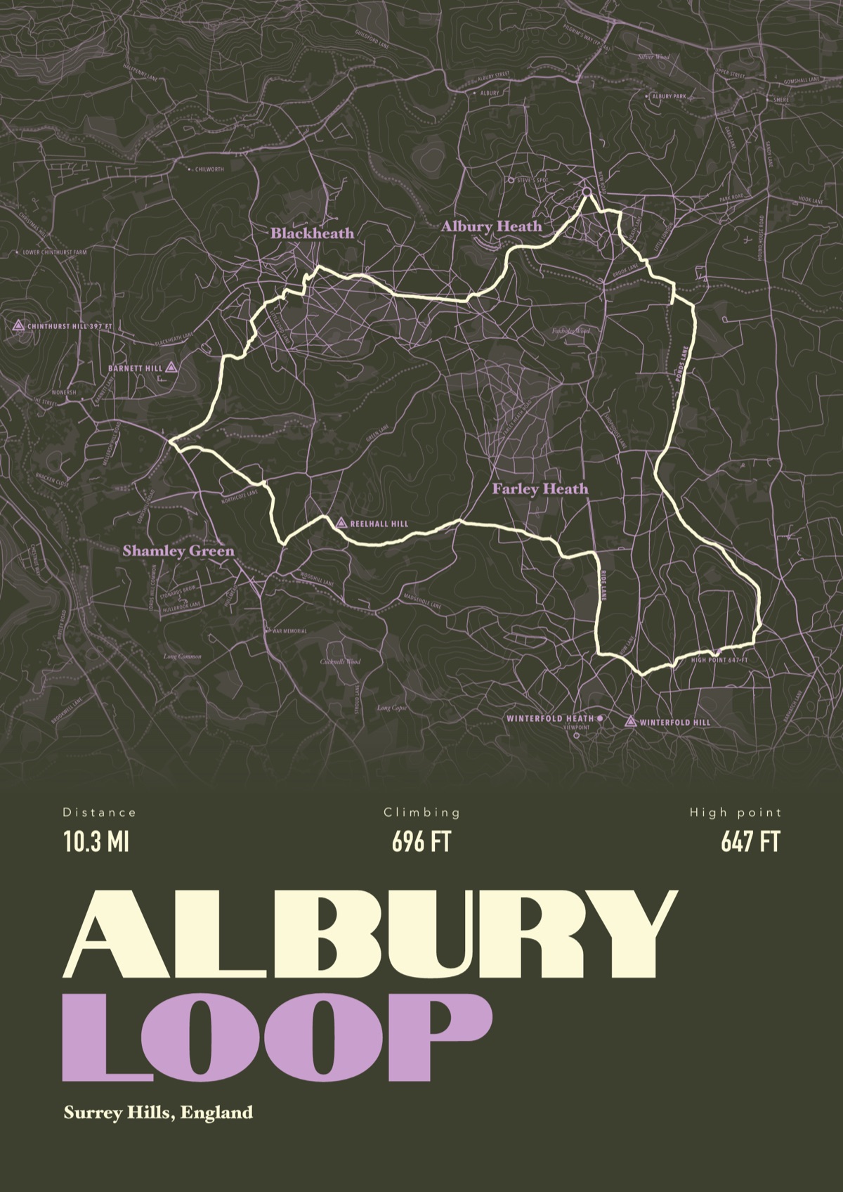
Your way up Half Dome, drawn
Your own path up and down, drawn from your phone or watch onto the mountain, with the summits, lakes and villages named.
The print shown is a walk in the Surrey Hills. Yours is drawn from your own day on Half Dome.
£45 unframed Launch price until 31 December
£55 from 1 January · £99 framed
Free delivery to the UK, US, Canada, Australia and New Zealand
Good questions
Do you need a permit to hike Half Dome?
Yes, every day the cables are up, for anyone going beyond the base of Sub Dome. The park allows up to 300 people a day: about 225 day hikers and 75 backpackers.
How does the Half Dome permit lottery work?
The preseason lottery runs from 1 to 31 March, with results by email in mid April. There's also a daily lottery two days before each hiking date, open from midnight to 4 pm Pacific time. Applying costs $10, plus $10 a person if you win, all through Recreation.gov.
How long does it take to hike Half Dome?
Most people take 10 to 12 hours there and back. Start around sunrise or earlier: the park says turn round if you're not on top by 3:30 pm.
When are the Half Dome cables up?
Usually from the Friday before Memorial Day to the day after the second Monday in October, and the park says those dates can move with conditions. The permit rule only applies while the cables are up.
Is Half Dome dangerous?
The cables are steep, exposed granite. Nearly all the fatal falls have happened when the rock was wet, and afternoon lightning storms are common, so stay off the cables if there's rain or thunder about. Carry a gallon (4 litres) of water and gloves with good grip.
Can I get a print of my own Half Dome hike?
Yes. Send the file from your phone or watch, Strava, Komoot or any app that exports GPX, and we draw your route from the valley with Half Dome, the waterfalls and the Merced River named.
You walked it, now frame it
Send the file from your phone or watch, pick the colours, and we'll take it from there
Make yours