Helvellyn routes
Helvellyn is 950 m and the third highest mountain in England, with two sharp ridges on its eastern side and plainer paths up from Thirlmere. Where each route starts, how far it goes, which suits a first go, and your own walk drawn as a print.
Helvellyn at a glance
- Summit
- Helvellyn, 950 m (3,117 ft), the third highest mountain in England
- Main routes
- Five, three from Glenridding and two from Thirlmere
- Most popular
- Striding Edge from Glenridding, back down Swirral Edge
- Shortest
- Helvellyn Gill from Swirls, Thirlmere, about 4.5 miles there and back
- Scrambling
- Striding Edge and Swirral Edge are both Grade 1 scrambles
The routes up Helvellyn
Striding Edge and Swirral Edge from Glenridding
About 8.5 miles (14 km) loop · 5 to 6 hours plus stops · starts in Glenridding
The classic horseshoe: up Mires Beck to the Hole in the Wall stile, along the crest of Striding Edge above Red Tarn, then down Swirral Edge. A lower line on the right of Striding Edge takes the sting out of most of it, but there's one short downclimb you can't avoid. For experienced hillwalkers in good conditions.
Striding Edge, down by Grisedale
About 11.5 miles (18.5 km) loop · starts in Glenridding
Same way up, but instead of Swirral Edge you carry on south over Dollywaggon Pike, drop to Grisedale Tarn and follow Grisedale Beck back to Patterdale and Glenridding on the Coast to Coast path. Longer, with no second scramble, and plenty of room to go wrong on the tops in cloud.
Keppel Cove and Whiteside from Glenridding
About 10.5 miles (17 km) loop · starts in Glenridding
The way up from Glenridding with no scrambling: steep zigzags to Keppel Cove, then over Whiteside and Helvellyn Lower Man to the top. Come back the same way, or make it a loop by Dollywaggon Pike and Grisedale.
Helvellyn Gill from Swirls, Thirlmere
About 4.5 miles (7 km) there and back · starts at Swirls car park, Thirlmere
The shortest and most direct way up, from the Thirlmere side. No scrambling, just a steep pull that hardly lets up, and the quickest route if all you want is the summit.
From Wythburn, Thirlmere
starts at Wythburn car park, Thirlmere
The other way up from the west, from the southern end of Thirlmere. Like Helvellyn Gill, a straight climb with no edges to cross.
Distances and times from the Ramblers, height from the Lake District National Park Authority, read October 2026. Check the mountain forecast before you go.
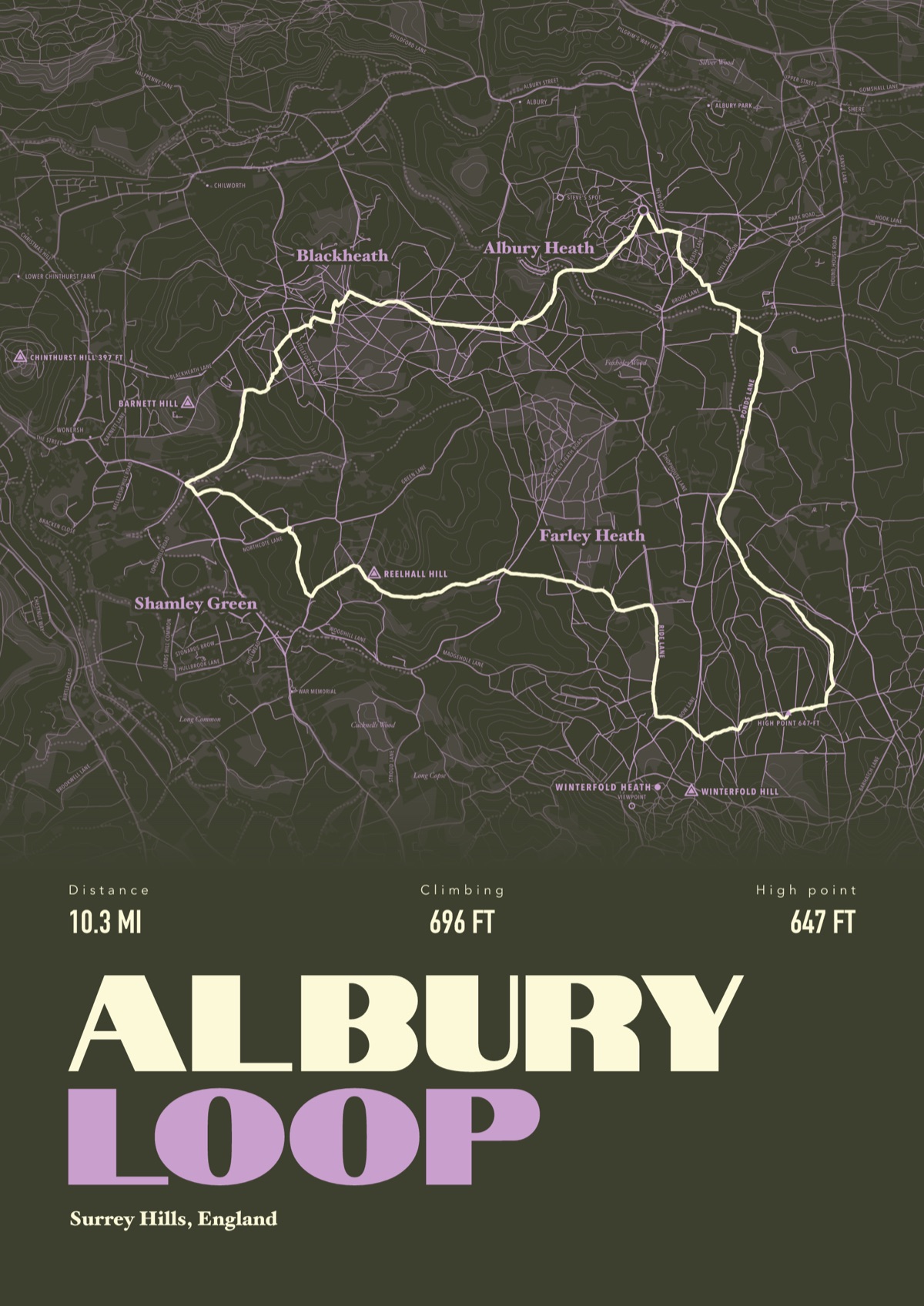
Your way up Helvellyn, drawn
Your own path up and down, drawn from your phone or watch onto the mountain, with the summits, lakes and villages named.
The print shown is a walk in the Surrey Hills. Yours is drawn from your own day on Helvellyn.
£45 unframed Launch price until 31 December
£55 from 1 January · £99 framed
Free delivery to the UK, US, Canada, Australia and New Zealand
Good questions
What is the easiest way up Helvellyn?
The routes from Thirlmere avoid scrambling, and Helvellyn Gill from Swirls is the shortest at about 4.5 miles there and back. From Glenridding, the path by Keppel Cove and Whiteside gets you up without hands on rock.
Is Striding Edge dangerous?
It's a Grade 1 scramble along a narrow crest with big drops, plus one short downclimb you can't skip. Fine for experienced hillwalkers in good weather, not a first mountain day, and in wind it feels very exposed. In winter it needs an ice axe, crampons and the experience to use them.
How long does it take to walk up Helvellyn?
The Ramblers reckon five to six hours for the Striding Edge and Swirral Edge horseshoe from Glenridding, plus stops. The Thirlmere routes are shorter.
Where do you park for Helvellyn?
Glenridding has a pay and display car park, with the National Park's Ullswater Information Centre next to it. On the Thirlmere side, use Swirls or Wythburn car parks. All of them fill early in summer.
Can you climb Helvellyn in winter?
Yes, with full winter kit and the skills to match. The National Park's Fell Top Assessors climb Helvellyn daily through the winter and post the conditions on Weatherline, so check it before you set off.
Can I get a print of my own Helvellyn hike?
Yes. Send the file from your phone or watch, Strava, Komoot or any app that exports GPX, and we draw your route with the edges, tarns and fells named.
You walked it, now frame it
Send the file from your phone or watch, pick the colours, and we'll take it from there
Make yours