Inca Trail to Machu Picchu
Old stone paths, Inca sites and a pass at 4,215 m, finishing at the Sun Gate above Machu Picchu. The classic four days, the short version, the permit rules, and your own trek drawn as a print.
Inca Trail at a glance
- Highest point
- Warmiwañusqa, or Dead Woman's Pass, 4,215 m (13,829 ft)
- The classic
- 4 days, about 42 km (26 miles) one way from km 82
- The short trail
- 2 days, about 12 km (7.5 miles) one way from km 104
- Permits
- Only on an organised trip with a licensed agency and an official guide: 500 a day on the four-day routes, 250 from km 104
- Closed
- Every February, for maintenance
The Inca Trail, day by day
Day 1: km 82 to Wayllabamba
12 km (7.5 miles) one way · 6 to 7 hours · starts at Piscacucho, km 82, about 2,720 m (8,924 ft)
A gentle start along the valley past the Inca site of Patallacta, with about 400 m of climbing to camp at Wayllabamba, 3,000 m (9,843 ft).
Day 2: over Dead Woman's Pass
11 km (6.8 miles) one way · 7 to 8 hours · Wayllabamba to Pacaymayo, 3,600 m (11,811 ft)
The big one: a long, steep climb to Warmiwañusqa, 4,215 m (13,829 ft), the highest point of the trail, then a knee-testing drop to camp at Pacaymayo.
Day 3: Pacaymayo to Wiñay Wayna
13.5 km (8.4 miles) one way · 7 to 8 hours · ends at Wiñay Wayna, 2,650 m (8,694 ft)
The longest day, over a second pass at about 3,950 m (12,959 ft), then down past more Inca sites to Wiñay Wayna, the last camp before Machu Picchu.
Day 4: the Sun Gate and Machu Picchu
5.5 km (3.4 miles) one way · 2 to 3 hours · Intipunku, the Sun Gate, 2,720 m (8,924 ft)
An early start to Intipunku, where Machu Picchu comes into view below you, then down into the site itself.
Route 2: from km 88
4 days, 3 nights · starts at Qoriwayrachina, km 88 · joins the classic at Wayllabamba
The same four days with a different first morning, starting further down the railway at Qoriwayrachina and meeting the classic route at Wayllabamba.
The short Inca Trail from km 104
About 12 km (7.5 miles) one way · 2 days, 1 night · starts at Chachabamba, km 104 · 250 walkers a day
Off the train at km 104, past the Inca site of Chachabamba and up to Wiñay Wayna, then through the Sun Gate to Machu Picchu the same day. After a mudslide at km 104 on 31 March 2026 walkers started from km 106, Choquesuysuy, until the Chachabamba path reopened on 1 August 2026.
Routes, limits and closures from SERNANP and Peru's Ministry of Culture, day distances and heights from Terra Quechua Peru, read October 2026. Check the trail status before you go.
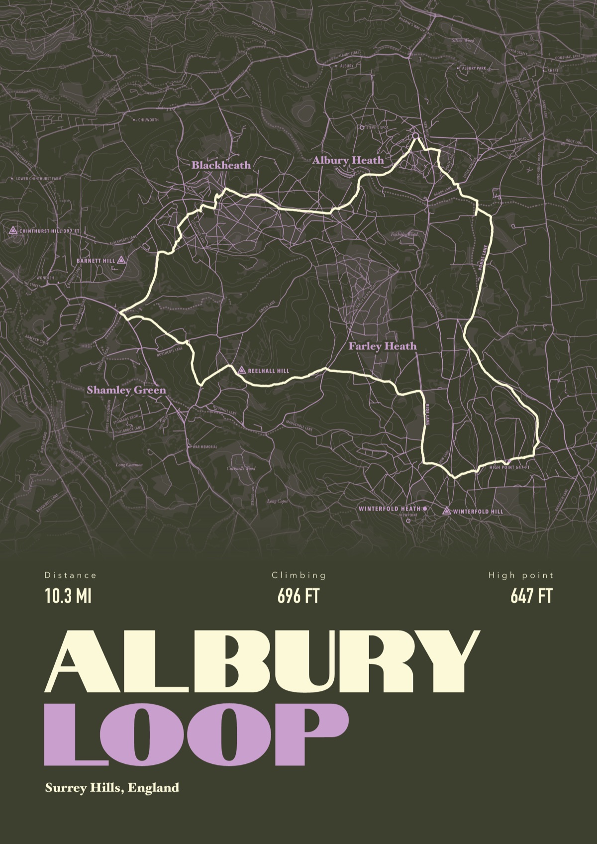
Your Inca Trail, drawn
Your own route, drawn from your phone or watch onto the map, with the peaks, huts and villages along the way named.
The print shown is a walk in the Surrey Hills. Yours is drawn from your own walk on Inca Trail.
£45 unframed Launch price until 31 December
£55 from 1 January · £99 framed
Free delivery to the UK, US, Canada, Australia and New Zealand
Good questions
Do you need a permit for the Inca Trail?
Yes. You can only walk it on an organised trip with a travel agency that holds a SERNANP contract, led by an official tourism guide, and tickets are controlled through the Ministry of Culture's tuboleto.cultura.pe. Numbers are capped at 500 a day on the four-day routes and 250 a day from km 104, in groups of 4 to 42.
When is the Inca Trail closed?
Every February, for maintenance and to let the ecosystem recover, reopening on 1 March. It can also shut at short notice after heavy rain: in August 2026 mudslides closed the routes from km 82 and km 88 until 5 September.
How long is the Inca Trail?
The classic route from km 82 is about 42 km (26 miles) over four days and three nights. The short trail from km 104 is about 12 km (7.5 miles), sold as two days and one night.
What is the hardest part of the Inca Trail?
Day two: a long climb to Dead Woman's Pass at 4,215 m (13,829 ft), the highest point, then a steep descent to Pacaymayo. Walking is only allowed between 5am and 6pm.
Can I get a print of my own Inca Trail hike?
Yes. Send the file from your phone or watch, Strava, Komoot or any app that exports GPX, and we draw your trek with the passes, camps, Inca sites and Machu Picchu named.
You walked it, now frame it
Send the file from your phone or watch, pick the colours, and we'll take it from there
Make yours