Mam Tor walk
Mam Tor is 517 m, with a stone path to the top and the Great Ridge running on about 3 km to Lose Hill. The short way up from Mam Nick, the ridge, the full loop from Castleton, and your own walk drawn as a print.
Mam Tor at a glance
- Summit
- Mam Tor, 517 m (1,696 ft), the Shivering Mountain above Castleton
- Main routes
- Three: the Mam Nick loop, the ridge from Mam Nick and the Great Ridge loop from Castleton
- Quickest
- From the National Trust car park at Mam Nick, 3 miles (4.8 km) round
- Longest
- The Great Ridge loop from Castleton, 6.5 miles, or 8 via Hope
- The ridge
- About 3 km (2 miles) from Mam Tor to Lose Hill, over Hollins Cross and Back Tor
The Mam Tor and Great Ridge walks
Mam Nick loop
3 miles (4.8 km) loop · about 2 hours · starts at Mam Nick car park (National Trust)
Stone steps from the car park to the trig point, on a path the National Trust rebuilt, then north along the flagstones to the dip at Hollins Cross. Back round under the hill on the old road broken up by landslips, past Blue John Cavern and Windy Knoll. Don't go into the Windy Knoll cave: there have been rockfalls.
The Great Ridge from Mam Nick
about 3 km (2 miles) each way, there and back · starts at Mam Nick car park (National Trust)
Up Mam Tor, then the whole ridge: down to Hollins Cross, over Back Tor and on to Lose Hill, then back the same way. Edale on one side, the Hope Valley on the other, and the dark gritstone of Kinder Scout to the north.
Great Ridge loop from Castleton
6.5 miles (10.5 km) loop, or 8 miles (13 km) via Hope · starts at the main car park in Castleton
The full day. Out of Castleton past Treak Cliff and Blue John caverns, up Mam Tor, along the ridge over Hollins Cross and Back Tor to Lose Hill, then down to Castleton, or the long way round by Hope and the river.
Distances and times from the National Trust and Visit Peak District, read October 2026. Paths get slippery after rain, so check the forecast before you go.
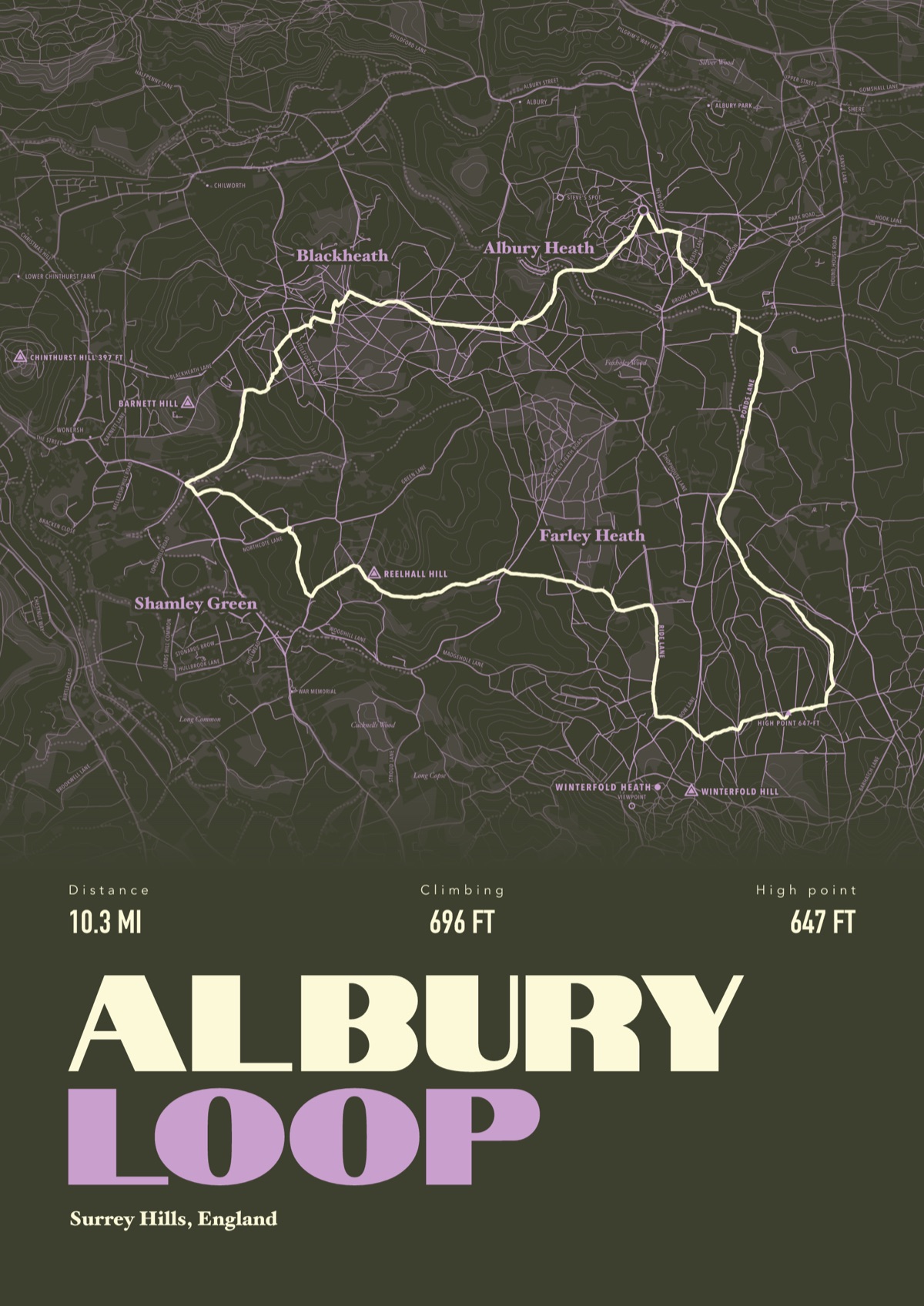
Your way up Mam Tor, drawn
Your own path up and down, drawn from your phone or watch onto the mountain, with the summits, lakes and villages named.
The print shown is a walk in the Surrey Hills. Yours is drawn from your own day on Mam Tor.
£45 unframed Launch price until 31 December
£55 from 1 January · £99 framed
Free delivery to the UK, US, Canada, Australia and New Zealand
Good questions
How long is the walk up Mam Tor?
From Mam Nick car park the National Trust's loop round the hill is 3 miles and takes about 2 hours. The summit itself is a short climb up stone steps from the car park.
Where do you park for Mam Tor?
The National Trust car park at Mam Nick is very small: £6 for up to four hours or £8 for the day. It fills by about 9am at busy times, so go early or start from Castleton.
How long is the Great Ridge?
About 3 km from Mam Tor to Lose Hill. From Castleton the loop over both is 6.5 miles, or 8 if you come back along the river through Hope.
Can you take dogs on Mam Tor?
Yes, on a lead. Farm animals graze the hill, and there are no bins, so take everything home.
Why is Mam Tor called the Shivering Mountain?
Its lower slopes are unstable shale and keep slipping. The old road below the summit has been broken up by landslides.
Can I get a print of my own Mam Tor walk?
Yes. Send the file from your phone or watch, Strava, Komoot or any app that exports GPX, and we draw your route with Mam Tor, Lose Hill and Castleton named.
You walked it, now frame it
Send the file from your phone or watch, pick the colours, and we'll take it from there
Make yours