Old Man of Coniston walk
The Old Man of Coniston is 803 m of old quarries, mine workings and a tarn tucked under the summit. The ways up from the village and from Walna Scar Road, the big round of the Coniston fells, and your own walk drawn as a print.
Old Man of Coniston at a glance
- Summit
- The Old Man of Coniston, 803 m (2,635 ft)
- Main routes
- Three: from the village, from Walna Scar Road and the Coniston fells round
- Shortest
- From the Walna Scar Road car park, 3.7 miles (6 km) there and back
- Longest
- The round over Swirl How and Wetherlam, 9.3 miles (15 km)
- Terrain
- Rough, with loose, slippery slate on the zigzags above the quarries
The routes up the Old Man of Coniston
From Coniston village
5.6 miles (9.1 km) there and back · 773 m (2,536 ft) of climbing · starts at the National Park car park on Ruskin Avenue, Coniston
Straight out of the village, up beside Church Beck into the Coppermines Valley, then onto the rough slate zigzags past old tramway buildings and rusting cables to Low Water and the summit. The one to pick if you'd rather leave the car where it is.
From Walna Scar Road, the quarry path
3.7 miles (6 km) there and back · 600 m (1,969 ft) of climbing · starts at the car park at the end of Walna Scar Road
The shortest way up, from a rough car park at the top of a steep, narrow lane out of Coniston. A track climbs through the old quarry workings, past Low Water in its corrie, then zigzags up to the summit.
Back by Goat's Water
loop · starts at the car park at the end of Walna Scar Road
Up the quarry path, then down the far side to Goat's Water under the cliffs of Dow Crag and out along the Walna Scar Road to the car. A loop instead of the same path twice.
The Coniston fells round
9.3 miles (15 km) loop · 935 m (3,068 ft) of climbing · starts at the car park at the end of Walna Scar Road
The big day. Over the Old Man and along the ridge to Brim Fell and Swirl How, down Prison Band and back up Wetherlam, then home past Levers Water and the Coppermines Valley. Rough and bouldery, and boggy in places whatever the season.
Distances and climbs from WalkLakes, summit height from Visit Lake District, read October 2026. Check the mountain forecast before you go.
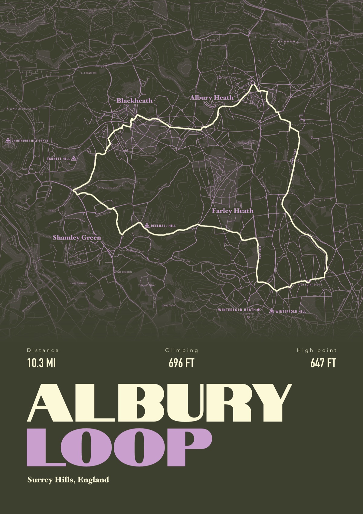
Your way up Old Man of Coniston, drawn
Your own path up and down, drawn from your phone or watch onto the mountain, with the summits, lakes and villages named.
The print shown is a walk in the Surrey Hills. Yours is drawn from your own day on Old Man of Coniston.
£45 unframed Launch price until 31 December
£55 from 1 January · £99 framed
Free delivery to the UK, US, Canada, Australia and New Zealand
Good questions
What is the easiest way up the Old Man of Coniston?
The quarry path from the Walna Scar Road car park: 3.7 miles there and back with 600 m of climbing, the shortest of the ways up.
How long does it take to walk up the Old Man of Coniston?
WalkLakes puts the walking time at just over two hours from Walna Scar Road and just over three from the village, there and back, before stops. Most people take longer.
Where do you park for the Old Man of Coniston?
The National Park car park on Ruskin Avenue in Coniston village, or the rough car park at the end of Walna Scar Road, up a steep, narrow lane from the village.
Can you do the Old Man and Swirl How in one day?
Yes. The round over Brim Fell, Swirl How and Wetherlam is 9.3 miles with 935 m of climbing, and WalkLakes puts the walking time at over four and a half hours before stops.
Can I get a print of my own Old Man of Coniston walk?
Yes. Send the file from your phone or watch, Strava, Komoot or any app that exports GPX, and we draw your route with Low Water, Goat's Water and the Coniston fells named.
You walked it, now frame it
Send the file from your phone or watch, pick the colours, and we'll take it from there
Make yours