Pen y Fan routes
Pen y Fan is 886 m and the highest mountain in southern Britain. Where each route starts, how far and how steep it is, which suits a first go, and your own walk drawn as a print.
Pen y Fan at a glance
- Summit
- Pen y Fan, 886 m (2,907 ft), the highest mountain in southern Britain
- Main routes
- Five, from Pont ar Daf, Storey Arms, Cwm Gwdi and the Taf Fechan Forest
- Most popular
- Pont ar Daf, the path the regulars call the Motorway
- Longest
- The 11 mile circuit from Storey Arms over Corn Du, Pen y Fan and Cribyn
- Car parks
- Pont ar Daf and Cwm Gwdi, both run by the National Trust, charges 24 hours a day
The routes up Pen y Fan
Pont ar Daf, the Motorway
4 miles (6.5 km) there and back · about 450 m (1,476 ft) of climbing · 3 to 4 hours · starts at Pont ar Daf car park on the A470
The wide, stone-pitched path from the A470 up to Bwlch Duwynt, round the shoulder of Corn Du and on to the top. The most gradual way and the busiest, and the one for a first mountain or children with good legs. There are toilets at the car park and nothing after that.
Corn Du and Storey Arms loop
4 miles (6.4 km) loop · about 3.5 hours · starts at Pont ar Daf car park
The National Trust's circuit: up the main path, over Pen y Fan, back over Corn Du and down past the Tommy Jones obelisk above Llyn Cwm Llwch, then over Y Gyrn to Storey Arms. Same distance as the straight up and back, with a second summit. The T4 bus stops at Storey Arms if you'd rather start there.
Cwm Gwdi by Cefn Cwm Llwch
5 miles (8 km) there and back · 4 to 5 hours · starts at Cwm Gwdi car park, south of Brecon
The quieter, steeper way from the north, up an old track past the former army camp to the Cefn Cwm Llwch ridge and a hard last push. Go on to Corn Du and down past Llyn Cwm Llwch for an 8 mile (12.9 km) loop, or east to Cribyn and back by Bryn Teg for 7 miles (11.3 km).
The Horseshoe Ridge from Taf Fechan
10 miles (16 km) loop · 5 to 7 hours · starts at Taf Fechan Forest, north of Merthyr Tydfil
Corn Du, Pen y Fan, Cribyn and Fan y Big, the one with the diving board rock, in one long circuit from the south. A stiff climb straight away up to Craig Fan Ddu, then the whole ridge, and back down the Gap track. Parking is limited, so get there early.
Storey Arms to Cribyn and Taf Fechan
11 miles (18.5 km) loop · 7 to 8 hours · starts at Storey Arms on the A470
The big day from the west: Corn Du, Pen y Fan and Cribyn, round by the Taf Fechan and back. Visit Wales grades it Hard.
Distances and times from the National Trust, Visit Wales and the Ramblers, read October 2026. Check the mountain forecast before you go.
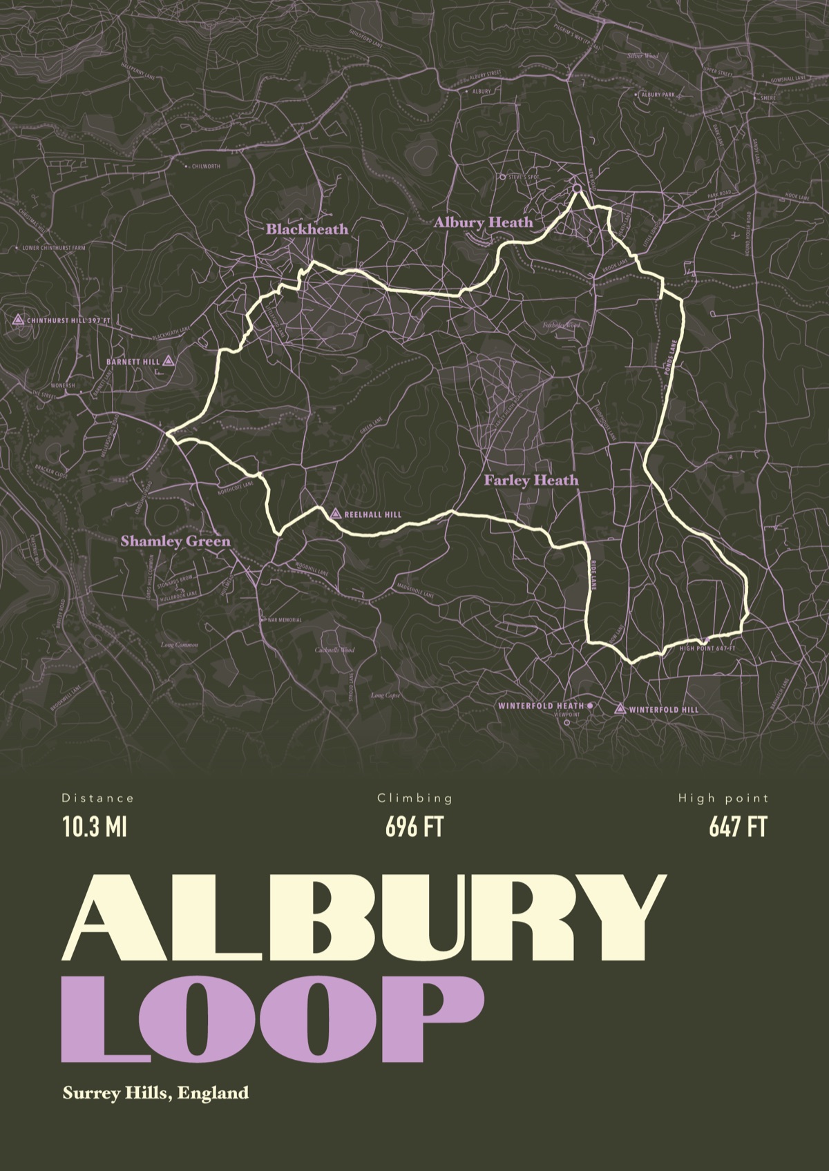
Your way up Pen y Fan, drawn
Your own path up and down, drawn from your phone or watch onto the mountain, with the summits, lakes and villages named.
The print shown is a walk in the Surrey Hills. Yours is drawn from your own day on Pen y Fan.
£45 unframed Launch price until 31 December
£55 from 1 January · £99 framed
Free delivery to the UK, US, Canada, Australia and New Zealand
Good questions
What is the easiest way up Pen y Fan?
The path from Pont ar Daf, 4 miles there and back with about 450 m of climbing on a well made path. Visit Wales says fit children can manage it, though you still need a decent level of fitness.
How long does it take to walk up Pen y Fan?
3 to 4 hours there and back from Pont ar Daf. The longer circuits take from about 5 hours up to 8, according to Visit Wales.
Where do you park for Pen y Fan?
Pont ar Daf on the A470 is the main car park, with about 180 spaces and toilets. Cwm Gwdi, to the north, is much smaller. Both belong to the National Trust and charge 24 hours a day, and both fill up. The T4 bus stops at Storey Arms.
Is Pen y Fan harder than Snowdon?
No. Visit Wales points out that every route up Yr Wyddfa is graded difficult, and it's higher and rougher than Pen y Fan.
Can you take a dog up Pen y Fan?
Yes, on a lead. Sheep graze the hill, so the National Trust asks for short leads near livestock, and the drop at the top is steep.
Can I get a print of my own Pen y Fan hike?
Yes. Send the file from your phone or watch, Strava, Komoot or any app that exports GPX, and we draw your route with the summits, the reservoirs and Llyn Cwm Llwch named.
You walked it, now frame it
Send the file from your phone or watch, pick the colours, and we'll take it from there
Make yours