Scafell Pike routes
Scafell Pike is 978 m and the highest mountain in England, with routes in from three valleys. Where each one starts, how far and how steep it is, which suits a first go, and your own walk drawn as a print.
Scafell Pike at a glance
- Summit
- Scafell Pike, 978 m (3,209 ft), the highest mountain in England
- Main routes
- Four, from Wasdale Head, Seathwaite in Borrowdale and Great Langdale
- Most popular
- Wasdale Head by Hollow Stones, the shortest way up
- Longest
- Great Langdale over Bowfell, 12 miles and about 8 hours
- Signposts
- None once you leave the valley, so take a map and compass
The routes up Scafell Pike
Wasdale Head by Hollow Stones
About 6 miles (9 km) there and back · about 900 m (2,953 ft) of climbing · 5 to 6 hours · starts at Wasdale Head
The shortest and most direct way: up beside Lingmell Gill, through the boulders of Hollow Stones to Lingmell Col, then over loose stones to the top. The gill has no bridge and can be impassable after heavy rain, even if you got across on the way up. On the way down, take the left fork at the junction above Lingmell Col, or you end up above Piers Gill.
Wasdale Head via Lingmell
6.5 miles (10.5 km) there and back · about 950 m (3,117 ft) of climbing · about 5.5 hours · starts at Wasdale Head
A variation from the same valley that takes in Lingmell, Scafell Pike's neighbour, before the final climb. A bit more distance and climbing than Hollow Stones, for a second summit on the way.
Seathwaite by the Corridor Route
About 9 miles (14 km) loop · about 1,000 m (3,281 ft) of climbing · 7 hours or more · starts at Seathwaite Farm, Borrowdale
From the end of the road in Borrowdale up to Sty Head, then along the Corridor Route under Great End and Broad Crag, with narrow bits, drops and a rock step near Greta Gill where you'll use your hands. Back down by Broad Crag, Esk Hause and Grains Gill. Never use Piers Gill as a short cut: the National Park says rescues there are rising.
Great Langdale over Bowfell
12 miles (18 km) loop · 1,400 m (4,593 ft) of climbing · about 8 hours · starts at the Old Dungeon Ghyll, Great Langdale
The long way in: up The Band to Three Tarns, over Bowfell and Esk Pike to Esk Hause, then on to the top. Back by Angle Tarn, down Rossett Gill and out along the flat of Mickleden. Rough, rocky and a very full day, so start early.
Times from the National Trust and Wasdale Mountain Rescue, distances and climbs from scafellpike.org.uk, read October 2026. Check the mountain forecast before you go.
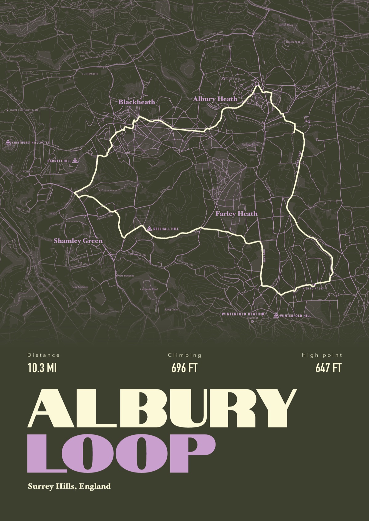
Your way up Scafell Pike, drawn
Your own path up and down, drawn from your phone or watch onto the mountain, with the summits, lakes and villages named.
The print shown is a walk in the Surrey Hills. Yours is drawn from your own day on Scafell Pike.
£45 unframed Launch price until 31 December
£55 from 1 January · £99 framed
Free delivery to the UK, US, Canada, Australia and New Zealand
Good questions
What is the easiest way up Scafell Pike?
Wasdale Head by Hollow Stones is the shortest and most direct. It is still a tough, steep walk over rough ground, and the National Trust grades it Challenging.
How long does it take to climb Scafell Pike?
Wasdale Mountain Rescue says allow at least 5 to 6 hours from Wasdale Head, even in very good weather, and 7 hours or more from Borrowdale, Langdale or Eskdale. If you climbed Ben Nevis that morning, it takes longer.
Where do you park for Scafell Pike?
For Wasdale, the National Trust's Lake Head car park next to the Wasdale campsite: pay and display, free for members. The valley road is narrow, so the Trust asks you to come back another day if it's full. For the Corridor Route, park at Seathwaite Farm in Borrowdale.
When is the best time to climb Scafell Pike?
Summer is the likeliest to be kind, but strong wind, windchill and snow are possible in any month. Wasdale Mountain Rescue says snow high on the mountain is normal from October to May, and the summit runs 5 to 10 degrees colder than the valley.
Is Scafell Pike signposted?
No. Once you leave the valley there are no signs, and three routes leave the summit plateau that look much the same in mist. For Wasdale, the National Trust's bearing off the top is 310 degrees for 100 m to a cairn, then 290 degrees.
Can I get a print of my own Scafell Pike hike?
Yes. Send the file from your phone or watch, Strava, Komoot or any app that exports GPX, and we draw your route with the fells, tarns and valleys named.
You walked it, now frame it
Send the file from your phone or watch, pick the colours, and we'll take it from there
Make yours