Snowdon routes
Six main paths lead to the summit of Yr Wyddfa, 1,085 m and the highest point in Wales. Where each one starts, how far and how steep it is, which suits a first go, and your own walk drawn as a print.
Snowdon at a glance
- Summit
- Yr Wyddfa, 1,085 m (3,560 ft), the highest point in Wales
- Main paths
- Six: Llanberis, Pyg, Miners', Rhyd Ddu, Snowdon Ranger and Watkin
- Most popular
- The Llanberis Path, from the village of Llanberis
- Hardest
- The Watkin Path, with the most climbing of the six
- Grading
- The National Park grades every path Hard/Strenuous
The six Snowdon routes
Llanberis Path
9 miles there and back · 975 m (3,199 ft) of climbing · About 7 hours · starts at Victoria Terrace, Llanberis
The most popular way up and the most gradual, alongside the mountain railway for much of the way. The best first go for anyone happy with a long, strenuous day. It gets very busy in spring and summer.
Pyg Track
7 miles there and back · 723 m (2,372 ft) of climbing · About 6 hours · starts at Pen-y-Pass
Shorter than the Llanberis Path but steeper and rockier, over Bwlch y Moch and round above the lakes. The Pyg Track also leads towards Crib Goch, a knife-edge scramble that is not a walking route: stay on the path.
Miners' Track
8 miles there and back · 723 m (2,372 ft) of climbing · About 6 hours · starts at Pen-y-Pass
Starts gently along the old copper miners' road past Llyn Llydaw and Llyn Glaslyn, then climbs very steeply to join the Pyg Track for the last part.
Rhyd Ddu Path
8.5 miles there and back · 895 m (2,936 ft) of climbing · About 6 hours · starts at Rhyd Ddu car park
Up the western slopes from the village of Rhyd Ddu. Quieter than the paths from the east, though it can still be busy in summer. It used to be called the Beddgelert Path.
Snowdon Ranger Path
8 miles there and back · 936 m (3,071 ft) of climbing · About 6 hours · starts at Llyn Cwellyn, off the A4085
One of the oldest paths to the summit, named after the Victorian guide who called himself the Snowdon Ranger and led tourists up it. Also on the quieter western side, starting by the shore of Llyn Cwellyn.
Watkin Path
8 miles there and back · 1,015 m (3,330 ft) of climbing · About 6 hours · starts at Pont Bethania, Nant Gwynant
The one with the most climbing, starting lowest of the six in Nant Gwynant, past waterfalls and old quarry workings, with a loose, steep finish. Not one for a first attempt.
Distances, climbs and times from the Eryri National Park Authority, read September 2026. Check the mountain forecast before you go.
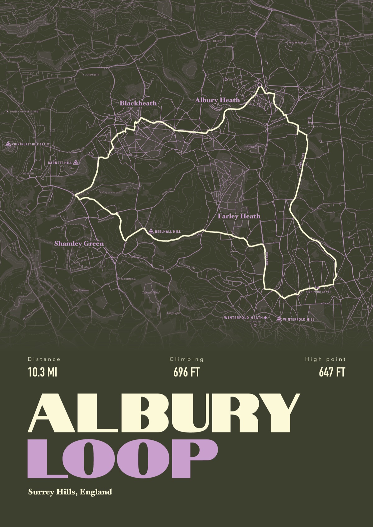
Your way up Snowdon, drawn
Your own path up and down, drawn from your phone or watch onto the mountain, with the summits, lakes and villages named.
The print shown is a walk in the Surrey Hills. Yours is drawn from your own day on Snowdon.
£45 unframed Launch price until 31 December
£55 from 1 January · £99 framed
Free delivery to the UK, US, Canada, Australia and New Zealand
Good questions
What is the easiest way up Snowdon?
The Llanberis Path has the most gradual climb, which is why it's the most popular. It is still 9 miles there and back with 975 m of climbing, and the National Park grades it Hard/Strenuous like every other path.
What is the hardest path up Snowdon?
The Watkin Path, which has the most climbing of the six: 1,015 m from Nant Gwynant.
How long does it take to walk up Snowdon?
About six to seven hours there and back on any of the six main paths, according to the National Park. Allow longer in bad weather or with a group.
Which Snowdon paths start at Pen-y-Pass?
The Pyg Track and the Miners' Track. Pen-y-Pass gets very busy and parking has to be booked, so the Sherpa'r Wyddfa bus is often the easier way to get there.
Is Snowdon called Yr Wyddfa?
Yr Wyddfa is the mountain's Welsh name, and the one the National Park uses. Both are correct.
Can I get a print of my own walk up Snowdon?
Yes. Send the file from your phone or watch, Strava, Komoot or any app that exports GPX, and we draw your path on the mountain with the summits, lakes and villages named.
You walked it, now frame it
Send the file from your phone or watch, pick the colours, and we'll take it from there
Make yours