Tongariro Alpine Crossing hike
A one-way day across an active volcano: 20.2 km from the Mangatepōpō Valley over Red Crater, 1,886 m, past the Emerald Lakes and down to Ketetahi Road. How long it takes, where to park, why you'll want a shuttle, and your own crossing drawn as a print.
Tongariro Alpine Crossing at a glance
- Highest point
- Red Crater, 1,886 m (6,188 ft)
- The route
- 20.2 km (12.6 miles) one way, Mangatepōpō to Ketetahi Road
- Time
- 7 to 8 hours from November to April, 9 hours from May to October
- Parking
- 4 hour limit at the road ends from Labour weekend to 30 April, so book a shuttle
- Booking
- Free, recommended for everyone and needed for shuttles and guides
- Winter
- From 1 May to late October it's an expert route, with snow, ice and avalanche risk
The Tongariro Alpine Crossing, stage by stage
Mangatepōpō Valley to Soda Springs
5.4 km (3.4 miles) one way · gentle climb from 1,120 m (3,675 ft) · starts at the Mangatepōpō road end
A boardwalk warm-up up the valley, through ground burnt in the 2025 fires and now under a 10-year rāhui from Ngāti Hikairo ki Tongariro, so stay on the track. Soda Springs on its own is an easy 2 hour return if the rest looks like too much.
The Devil's Staircase to South Crater
About 350 m (1,150 ft) of climbing
The valley ends and the stairs begin, a steady grind up to the flat floor of South Crater. A good place to check the weather and your legs before you commit to the exposed bit.
Red Crater
1,886 m (6,188 ft), the high point
Another climb to the top of the crossing, often windy and colder than you'd guess from the car park. The way off the far side is steep, loose scree, where most people slow right down.
Emerald Lakes and Blue Lake
Ngā Rotopounamu and Te Wai Whakaata o Te Rangihīroa
The colourful bit, with steam vents around the Emerald Lakes. Keep off the hot ground, and don't touch or swim in any of the lakes: the waters are sacred to Ngāti Hikairo ki Tongariro.
The long way down to Ketetahi
Finishes at Ketetahi Road, 760 m (2,493 ft)
A long zigzag descent of the northern slopes, lots of steps, with Lake Rotoaira and Lake Taupō below, then into forest for the last stretch. Hard on the knees after a big day.
Distance, heights, times and rules from the New Zealand Department of Conservation (DOC), read October 2026. Check the NIWA forecast for Red Crater and the volcanic alert level before you go.
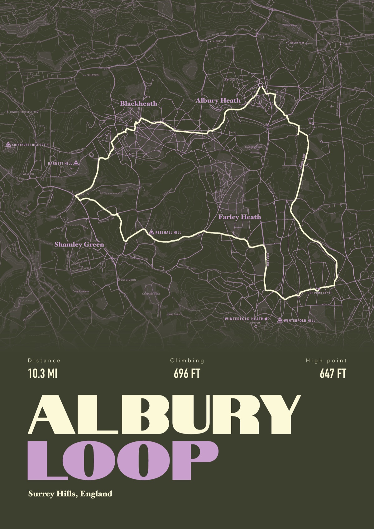
Your Tongariro Alpine Crossing, drawn
Your own route, drawn from your phone or watch onto the map, with the peaks, huts and villages along the way named.
The print shown is a walk in the Surrey Hills. Yours is drawn from your own walk on Tongariro Alpine Crossing.
£45 unframed Launch price until 31 December
£55 from 1 January · £99 framed
Free delivery to the UK, US, Canada, Australia and New Zealand
Good questions
How long does the Tongariro Alpine Crossing take?
DOC allows 7 to 8 hours from November to April and 9 hours from May to October, for 20.2 km one way. In winter there are only 9 to 11 hours of daylight, so start early and carry a head torch.
Do you need to book the Tongariro Alpine Crossing?
Booking is free and DOC recommends it for everyone using any part of the track. You must book if you're using a shuttle or a guide.
Where do you park for the Tongariro Alpine Crossing?
From Labour weekend in late October to 30 April the road-end car parks have a 4 hour limit, which rules them out for a 7 to 8 hour crossing. DOC says the shuttle is the best way to go, from any of the local towns. There's a private car park near the Ketetahi end, and parking on the state highway isn't recommended.
Can you do the Tongariro Alpine Crossing in winter?
Only with alpine skills and kit. From 1 May to late October DOC treats it as an expert route: snow, ice, sub-zero temperatures and avalanche terrain, with crampons, ice axe, helmet and avalanche gear essential. Shuttles generally don't run in winter, and guided trips include transport.
Is the Tongariro Alpine Crossing hard?
It's a long day with high fitness needed, steep and uneven ground, and weather that can turn in any month. DOC doesn't recommend it for children under 10. In summer it posts a Not Recommended Today advisory when the Red Crater forecast is bad, so check before you go.
Can I get a print of my own Tongariro Alpine Crossing?
Yes. Send the file from your phone or watch, Strava, Komoot or any app that exports GPX, and we draw your crossing with Red Crater, the Emerald Lakes, Blue Lake and the volcanoes named.
You walked it, now frame it
Send the file from your phone or watch, pick the colours, and we'll take it from there
Make yours