Tour du Mont Blanc route
A 170 km loop round the Mont Blanc massif through France, Italy and Switzerland, with about 10,000 m of climbing. The classic anticlockwise route from Les Houches, section by section, when to go, and your own walk drawn as a print.
Tour du Mont Blanc at a glance
- Route
- A loop round the Mont Blanc massif, through France, Italy and Switzerland
- The walk
- 170 km (106 miles) loop, usually in 10 to 11 stages
- Climbing
- About 10,000 m (32,808 ft)
- Highest point
- About 2,600 m (8,530 ft) on the main route
- Season
- Mid June to mid September
- Classic start
- Les Houches, walking anticlockwise
The Tour du Mont Blanc, section by section
Les Houches to Les Contamines
17 km (11 miles) one way · 1,019 m (3,343 ft) of climbing · 1 stage · starts in Les Houches
Up to the Col de Voza under the north face of the Aiguille de Bionnassay, then down through the hamlets of Bionnassay and Champel to Les Contamines-Montjoie. The harder variant goes over the Col de Tricot and past the Chalets de Miage.
Les Contamines to Les Chapieux
19 km (12 miles) one way · 1,379 m (4,524 ft) of climbing · 1 stage
Past the baroque chapel of Notre-Dame de la Gorge and up over the Col du Bonhomme and the Col de la Croix du Bonhomme, then down to Les Chapieux. A big day with two cols in it, and the refuge at the Croix du Bonhomme is closed until 2029, according to TMB Trail Guide.
Les Chapieux to Courmayeur
31.5 km (20 miles) one way · 1,616 m (5,302 ft) of climbing · 2 stages, via Rifugio Elisabetta
Up the Vallée des Glaciers to the Col de la Seigne and into Italy, with Mont Blanc and the Grandes Jorasses ahead. A night at Elisabetta, then past Lac Combal and over Chécrouit with the Miage and Brenva glaciers below, down to Courmayeur.
Courmayeur to La Fouly
32.9 km (20 miles) one way · 2,053 m (6,736 ft) of climbing · 2 stages, via Rifugio Bonatti
Climb out of Courmayeur to Rifugio Bertone and along the balcony path facing the Grandes Jorasses to Bonatti. Then past Rifugio Elena and over the Grand Col Ferret into Switzerland, down to La Fouly.
La Fouly to Col de la Forclaz
31.2 km (19 miles) one way · 1,468 m (4,816 ft) of climbing · 2 stages, via Champex-Lac
The gentlest section: down the Swiss Val Ferret through Praz-de-Fort to the lake at Champex, then over Bovine to the Col de la Forclaz. The Fenêtre d'Arpette is the high, rocky alternative, with the Trient glacier below.
Trient to Tré-le-Champ
12.9 km (8 miles) one way · 1,095 m (3,593 ft) of climbing · 1 stage
From Trient's pink church up to the Col de Balme and back into France, then down over the Col des Posettes to Tré-le-Champ.
Tré-le-Champ to Les Houches
14.6 km (9 miles) one way · 1,569 m (5,148 ft) of climbing · 2 stages, via La Flégère
Along the balcony above the Chamonix valley, with Lac Blanc and its view of the Mer de Glace close by, then over the Col du Brévent and a long descent to close the loop in Les Houches.
Route, totals and season from the official Tour du Mont Blanc sites, section distances and climbs added up from TMB Trail Guide's 11 stages, read October 2026. Check trail conditions before each stage.
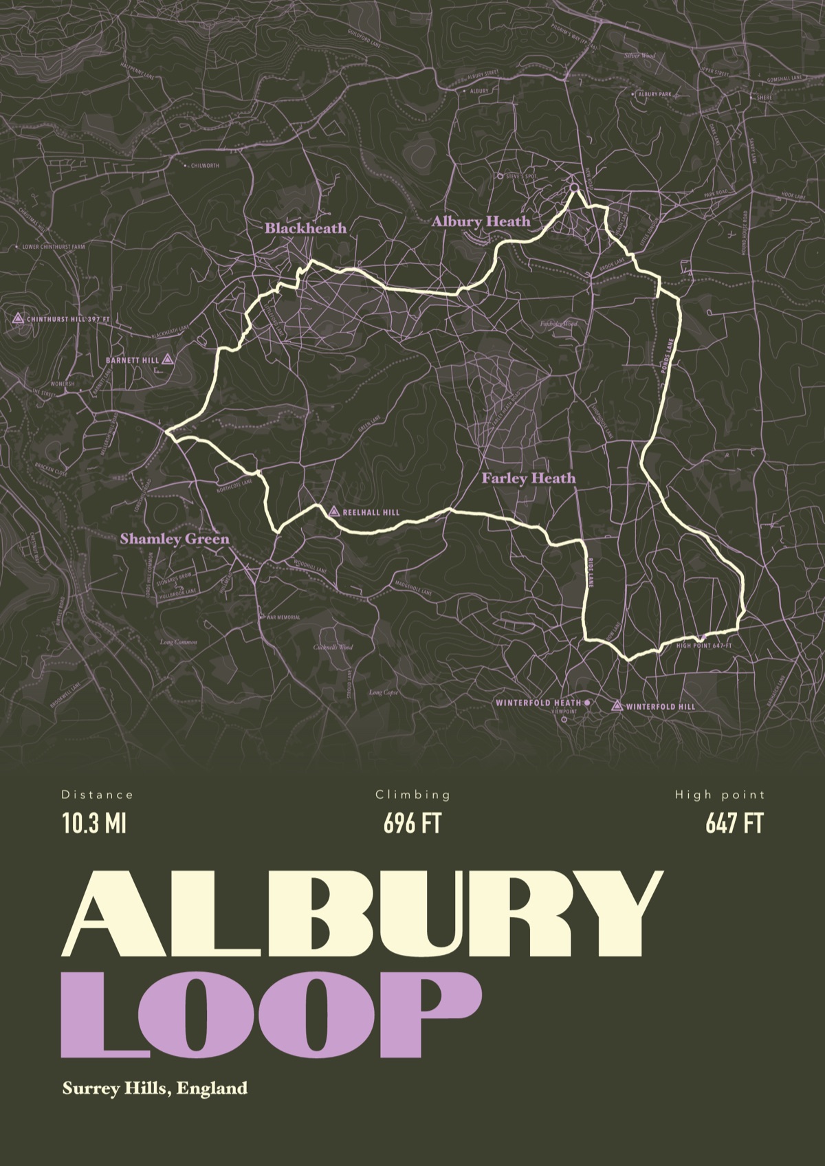
Your Tour du Mont Blanc, drawn
Your own route, drawn from your phone or watch onto the map, with the peaks, huts and villages along the way named.
The print shown is a walk in the Surrey Hills. Yours is drawn from your own walk on Tour du Mont Blanc.
£45 unframed Launch price until 31 December
£55 from 1 January · £99 framed
Free delivery to the UK, US, Canada, Australia and New Zealand
Good questions
How long does the Tour du Mont Blanc take?
The official site says 7 days if you're fast, 9 to 10 for a good balance and 11 to 12 if you want to take your time. Most people walk it in 10 to 11 stages.
Do you need to book refuges on the Tour du Mont Blanc?
Yes. In high season refuges are often full weeks ahead, so book every night before you set off. The official booking site is montourdumontblanc.com, and TMB Trail Guide says bookings for summer 2027 open there on 15 October 2026.
When is the best time to walk the Tour du Mont Blanc?
Mid June to mid September. July and August have the best conditions and the most people.
Which way round is the Tour du Mont Blanc?
Either way, from any of several starting points, including Les Houches, Chamonix, Les Contamines, Courmayeur and Champex. The classic is anticlockwise from Les Houches, which is the route on this page.
Can you wild camp on the Tour du Mont Blanc?
It depends where you are. Bivouacking is generally only allowed near huts and at set hours, and it's banned in some nature reserves and on all private land.
Can I get a print of my own Tour du Mont Blanc hike?
Yes. Send the file from your phone or watch, Strava, Komoot or any app that exports GPX, and we draw your loop with the cols, refuges and villages named.
You walked it, now frame it
Send the file from your phone or watch, pick the colours, and we'll take it from there
Make yours