Tryfan routes
Tryfan is 918 m of rock above Llyn Ogwen, and every way to the top is a scramble: you will need your hands. The North Ridge, the Heather Terrace and the South Ridge compared, and your own day drawn as a print.
Tryfan at a glance
- Summit
- Tryfan, 918 m (3,012 ft), in the Glyderau above Llyn Ogwen
- Main routes
- Three scrambles: the North Ridge, the Heather Terrace and the South Ridge
- Hardest
- The North Ridge, a grade 1 scramble with very little walking
- Easiest
- The South Ridge from Bwlch Tryfan, still a grade 1 scramble
- Who it's for
- Experienced, well-equipped hillwalkers only, says the National Trust
The routes up Tryfan
North Ridge
3.5 miles (5.7 km) loop, down by the Heather Terrace · 576 m (1,890 ft) of climbing · about 3.5 hours · starts at Gwern Gof Uchaf, on the A5
Close to 300 m of scrambling up broken rock, past the Cannon stone and the quartz slabs to the North Tower and the summit pillars, Adam and Eve. Grade 1 by the easiest line and much harder on the most direct one. Stray left or right and you end up in the gullies where the rescue team keeps finding people stuck, and a phone map won't find the line for you.
Heather Terrace
4 miles (6.7 km) loop, down the South Ridge · 710 m (2,329 ft) of climbing · about 5 hours · starts at Glan Dena, near Ogwen Cottage
A rough path across the east face to a notch on the South Ridge, then the South Ridge scramble to the top. The start is hard to find and the line is harder to follow in cloud. It's a less direct way up, not an easy one.
South Ridge
starts at Ogwen, via Llyn Bochlwyd and Bwlch Tryfan
Up the rocky path past Llyn Bochlwyd to the col at Bwlch Tryfan, then up the South Ridge to the summit. The National Trust calls it the easiest way up, and it is still a grade 1 scramble. It is also a way down after the North Ridge.
Tryfan and the Glyderau
6.5 miles (10.5 km) loop · about 5 hours · starts at the Ogwen car park
The big Ogwen day: up by the Devil's Kitchen to Glyder Fawr and Glyder Fach, past the Cantilever stone, then over Tryfan by its south side to finish. Tryfan comes last, on tired legs, so leave plenty of daylight.
Distances, climbs and times from Walking Britain, Mud and Routes and Ordnance Survey, read October 2026. Every route is a scramble: check the mountain forecast and leave it for another day if the rock is wet or the wind is up.
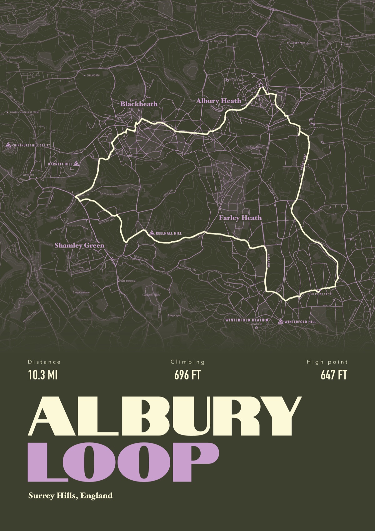
Your way up Tryfan, drawn
Your own path up and down, drawn from your phone or watch onto the mountain, with the summits, lakes and villages named.
The print shown is a walk in the Surrey Hills. Yours is drawn from your own day on Tryfan.
£45 unframed Launch price until 31 December
£55 from 1 January · £99 framed
Free delivery to the UK, US, Canada, Australia and New Zealand
Good questions
Is Tryfan a scramble?
Yes. There is no walking route to the summit and every way up needs your hands. The easiest, the South Ridge from Bwlch Tryfan, is a grade 1 scramble, and the North Ridge has the most of it.
Is Tryfan suitable for beginners?
No. The National Trust recommends it only for experienced, well-equipped hillwalkers, and the Ogwen rescue team is often called to people lost or stuck in its gullies. If you have never scrambled, go with someone who has, or book a guide.
How long does it take to climb Tryfan?
About 3 to 4 hours for the North Ridge, according to Ordnance Survey, and longer by the Heather Terrace. The Ogwen rescue team asks walkers to have a plan, know how to navigate their route and carry a torch in case it runs late.
Where do you park for Tryfan?
The Ogwen car park by Ogwen Cottage is £6 a day or £3 for four hours, card only. There are laybys on the A5 below the North Ridge, but parts of the road now have double yellow lines. The T10 bus between Bangor and Betws y Coed stops at Ogwen.
Can you climb Tryfan in winter?
Only with winter skills, an ice axe and crampons. Ordnance Survey warns that ice can linger on the north-facing ridge into April.
Can I get a print of my own Tryfan scramble?
Yes. Send the file from your phone or watch, Strava, Komoot or any app that exports GPX, and we draw your route with Tryfan, Llyn Ogwen and the Glyderau named.
You walked it, now frame it
Send the file from your phone or watch, pick the colours, and we'll take it from there
Make yours