Yorkshire Three Peaks walk
Pen-y-ghent, Whernside and Ingleborough in one 24 mile loop, with 1,585 m of climbing. How the route goes, where to start, how to do each peak on its own, and your own walk drawn as a print.
Yorkshire Three Peaks at a glance
- Summits
- Whernside 736 m (2,415 ft), Ingleborough 723 m (2,372 ft), Pen-y-ghent 694 m (2,277 ft)
- The walk
- 24 miles (38.6 km) loop with 1,585 m (5,200 ft) of climbing
- Traditional start
- Horton-in-Ribblesdale, with Ribblehead the usual alternative
- The challenge
- All three in under 12 hours
- Permits
- None, it's all public rights of way and open access land
The Yorkshire Three Peaks route, peak by peak
The full circuit from Horton-in-Ribblesdale
24 miles (38.6 km) loop · 1,585 m (5,200 ft) of climbing · starts at Horton-in-Ribblesdale car park
The National Park's route goes Pen-y-ghent first, then the long miles north past Nether Lodge to Ribblehead and its viaduct, up Whernside, down to Chapel-le-Dale, then Ingleborough and the long drop back to Horton through Sulber Nick. Two stretches are on roads that can be busy and fast. You can go either way round, and it's waymarked, but the Park still says carry a map and know how to use it.
Pen-y-ghent from Horton-in-Ribblesdale
6 miles (10 km) loop · 694 m (2,277 ft) summit · starts at Horton-in-Ribblesdale car park
The smallest of the three. Up Brackenbottom Scar, onto the Pennine Way for the steep last pull to the trig point, then back past Hunt Pot and Hull Pot and down the walled Horton Scar Lane.
Whernside from Ribblehead
7.5 miles (12.5 km) loop · 736 m (2,415 ft) summit · starts at Ribblehead
The highest of the three, and the National Park admits it's the least walked, probably because the climb is long and the shape less striking. A long steady pull to a high ridge, a steeper way down, and a flat finish through the fields under Ribblehead Viaduct.
Ingleborough from Clapham
10 miles (17 km) loop · 723 m (2,372 ft) summit · starts at the National Park car park in Clapham
The long way up, past Ingleborough Cave, through the gorge of Trow Gill and by Gaping Gill, where Fell Beck drops 100 m underground. Over Little Ingleborough to the summit plateau, then down a different path to Clapham. The plateau is where people walk off in the wrong direction in cloud.
Distances, climbs and heights from the Yorkshire Dales National Park Authority, read October 2026. Check the mountain forecast before you go.
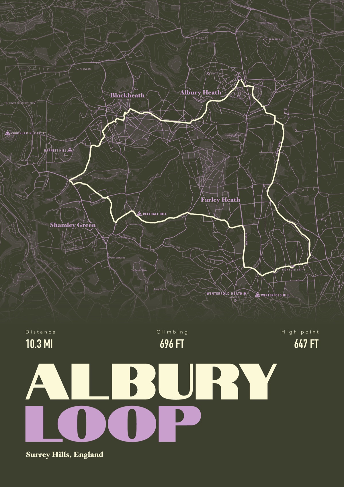
Your Yorkshire Three Peaks, drawn
Your own route, drawn from your phone or watch onto the map, with the peaks, huts and villages along the way named.
The print shown is a walk in the Surrey Hills. Yours is drawn from your own walk on Yorkshire Three Peaks.
£45 unframed Launch price until 31 December
£55 from 1 January · £99 framed
Free delivery to the UK, US, Canada, Australia and New Zealand
Good questions
How long is the Yorkshire Three Peaks walk?
24 miles (38.6 km) with 1,585 m of climbing, according to the National Park. The challenge is to finish in under 12 hours.
Where does the Yorkshire Three Peaks walk start?
Traditionally at Horton-in-Ribblesdale, but you can start anywhere on the loop, and Ribblehead is the popular alternative. The Settle to Carlisle line stops at Horton and Ribblehead, which saves the parking hunt.
Do I need to register or get permission?
No. The route is all public rights of way and open access land, so anyone can walk it. Groups can tell the National Park about their walk for free, which helps it plan path repairs.
When is the best time to walk the Yorkshire Three Peaks?
Spring to late summer or early autumn, says the National Park, to get the most daylight.
Where do you park for the Yorkshire Three Peaks?
The National Park's pay car park in Horton-in-Ribblesdale, which fills fast on spring and summer Saturdays, plus a few private fields in the village. At Ribblehead, use the lay-bys and keep off the common land.
Can I get a print of my own Yorkshire Three Peaks walk?
Yes. Send the file from your phone or watch, Strava, Komoot or any app that exports GPX, and we draw your route with the three summits, Ribblehead Viaduct and the villages named.
You walked it, now frame it
Send the file from your phone or watch, pick the colours, and we'll take it from there
Make yours