Twin Cities Marathon route map
26.2 miles from downtown Minneapolis round the Chain of Lakes and Lake Nokomis, along the Mississippi, over into St Paul and up Summit Avenue to the Minnesota State Capitol. The course mile by mile, and your own race drawn with your chip time.
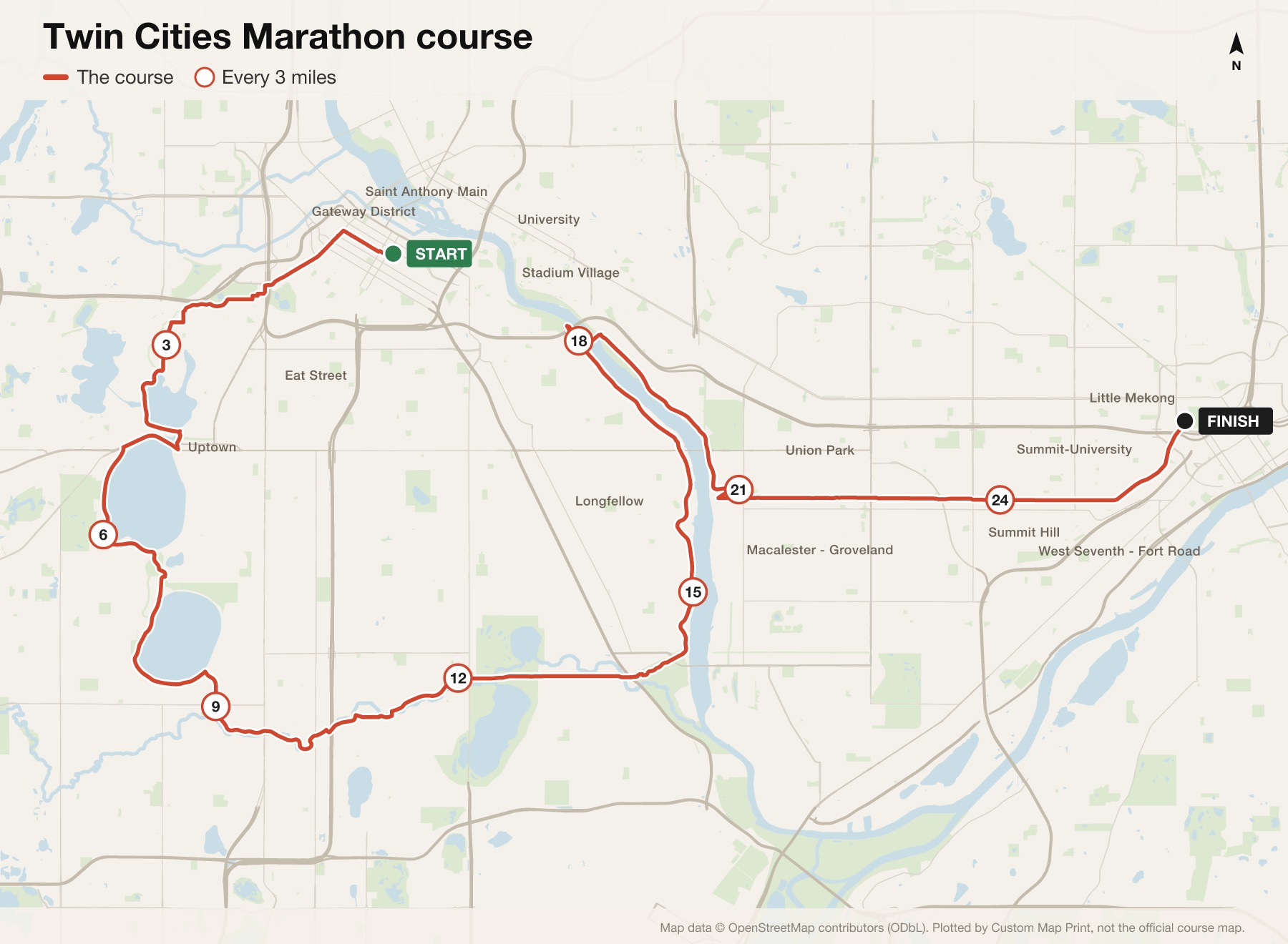
Twin Cities Marathon course at a glance
- Distance
- 26.2 miles (42.195 km)
- Start
- Downtown Minneapolis, South 6th Street
- Finish
- The Minnesota State Capitol, St Paul
- The hill
- About 185 ft of climbing between miles 20 and 23, up to Summit Avenue
- Time limit
- 6 hours 30 minutes
- Next race
- Sunday 17 October 2027
The map is plotted from the published route. Check the organiser's site for this year's exact course.
The Twin Cities Marathon route, mile by mile
- Miles 1 to 3Out of downtown Minneapolis on Hennepin Avenue and Kenwood Parkway.
- Miles 4 to 9The Chain of Lakes: Lake of the Isles around mile 4, Bde Maka Ska around mile 5 and Lake Harriet around mile 7.
- Miles 10 to 14East along Minnehaha Parkway to Lake Nokomis.
- Miles 15 to 20North along the Mississippi on the West River Parkway, the low point of the course, then over the river into St Paul.
- Miles 21 to 23The climb: about 185 feet up to Summit Avenue, the high point of the course around mile 23.
- Mile 24 to the finishEast along Summit Avenue past its old mansions, and downhill for the last half mile to the State Capitol.
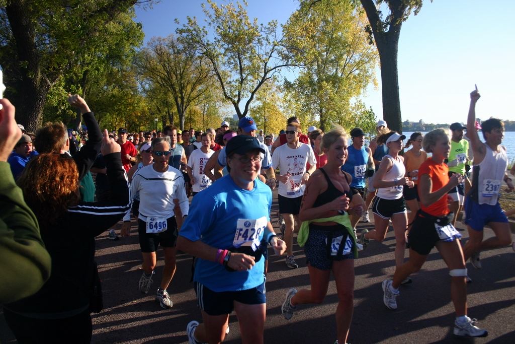
Where it hurts
Miles 20 to 23
The whole race builds to this: a steady climb from the river up to Summit Avenue.
Summit Avenue
Long and straight, and you can see how far there is to go.
The river parkway
Lovely, and quiet, just as the legs start to go.
Elevation
Gently rolling for 20 miles, then the one real climb: the organiser's own chart rises from 760 ft at mile 20 to 945 ft at mile 23. The last half mile runs downhill to the finish.
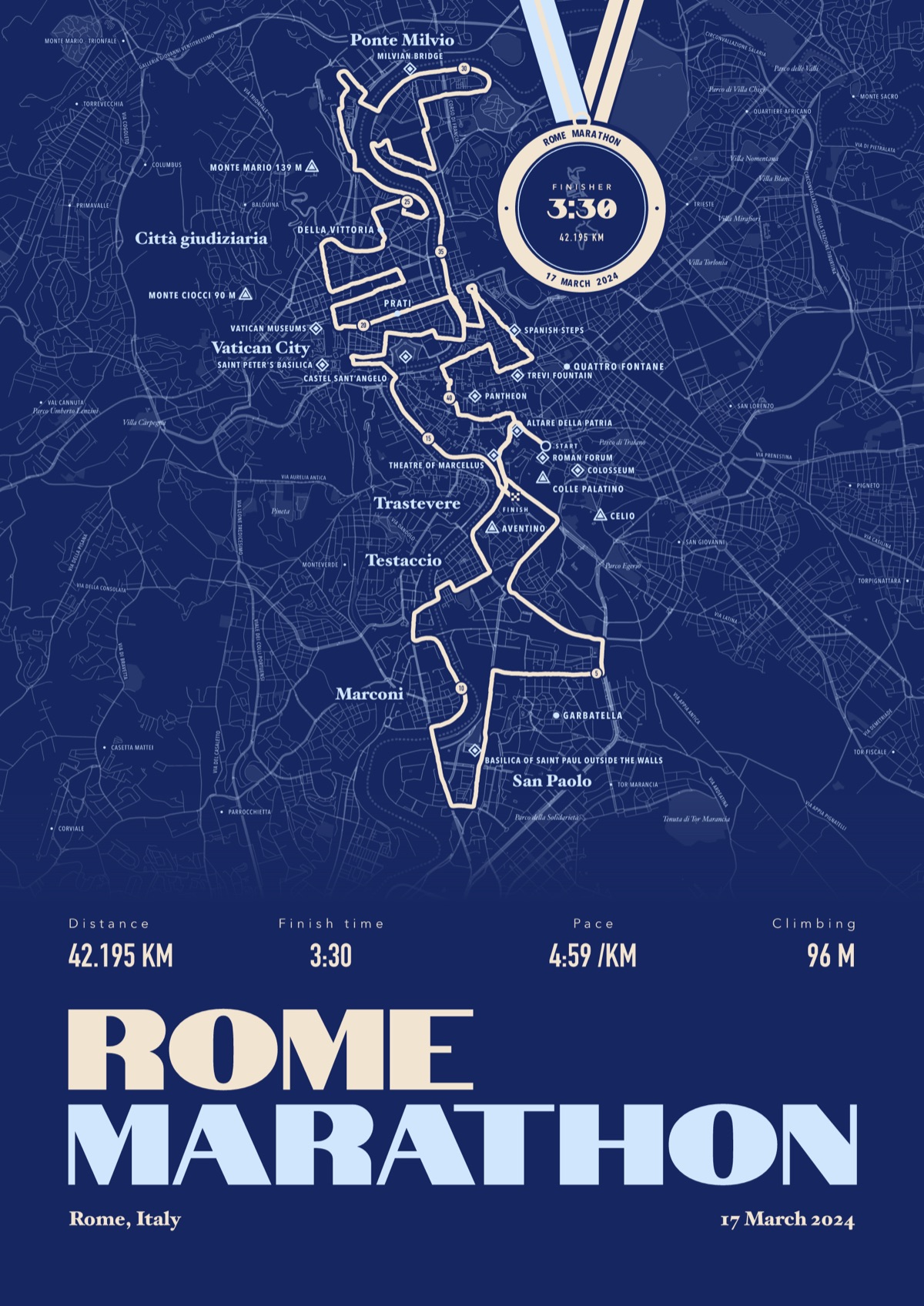
Your Twin Cities Marathon, with your chip time
Your own race drawn street by street from your watch, the landmarks named, and your chip time on a finisher's medal hung from the top of the print.
The print shown is the Rome Marathon. Yours is drawn from your own Twin Cities Marathon file.
£45 unframed Launch price until 31 December
£55 from 1 January · £99 framed
Free delivery to the UK, US, Canada, Australia and New Zealand
Good questions
How hard is the Summit Avenue hill?
Steady rather than steep: about 185 ft of climbing between miles 20 and 23, according to the organiser's elevation chart. It's the timing that makes it hard.
Where does the Twin Cities Marathon start and finish?
It starts in downtown Minneapolis and finishes at the Minnesota State Capitol in St Paul.
What's the time limit?
6 hours 30 minutes. After that, runners move to the pavement or take the sweep bus.
When is the next Twin Cities Marathon?
Sunday 17 October 2027, the first year of the race's new mid-October weekend.
Can I order a print before race day?
Yes. Order now, choose Send later, and send your file after you finish.
Course details from the organiser, checked September 2026. Custom Map Print is not connected to the race or its organisers. Runners in Minneapolis during the 2006 Twin Cities Marathon: gomattolson, CC BY-SA 2.0, via Wikimedia Commons.

More marathon route maps
- Philadelphia Marathon route mapNext race Sunday 22 November 2026
- London Marathon route mapNext race 24 and 25 April 2027
- Manchester Marathon route mapNext race Sunday 18 April 2027
- Melbourne Marathon route mapNext race October 2027
Marathon route maps · Half marathon route maps · Running prints
You ran it, now frame it
Send your file after the race, add your chip time, and we'll take it from there
Make yours