Vancouver Marathon route map
42.2 km from Queen Elizabeth Park out to UBC and round the point, back through Kitsilano, over the Burrard Bridge and all the way round the Stanley Park seawall to finish downtown. The course part by part, and your own race drawn with your chip time.
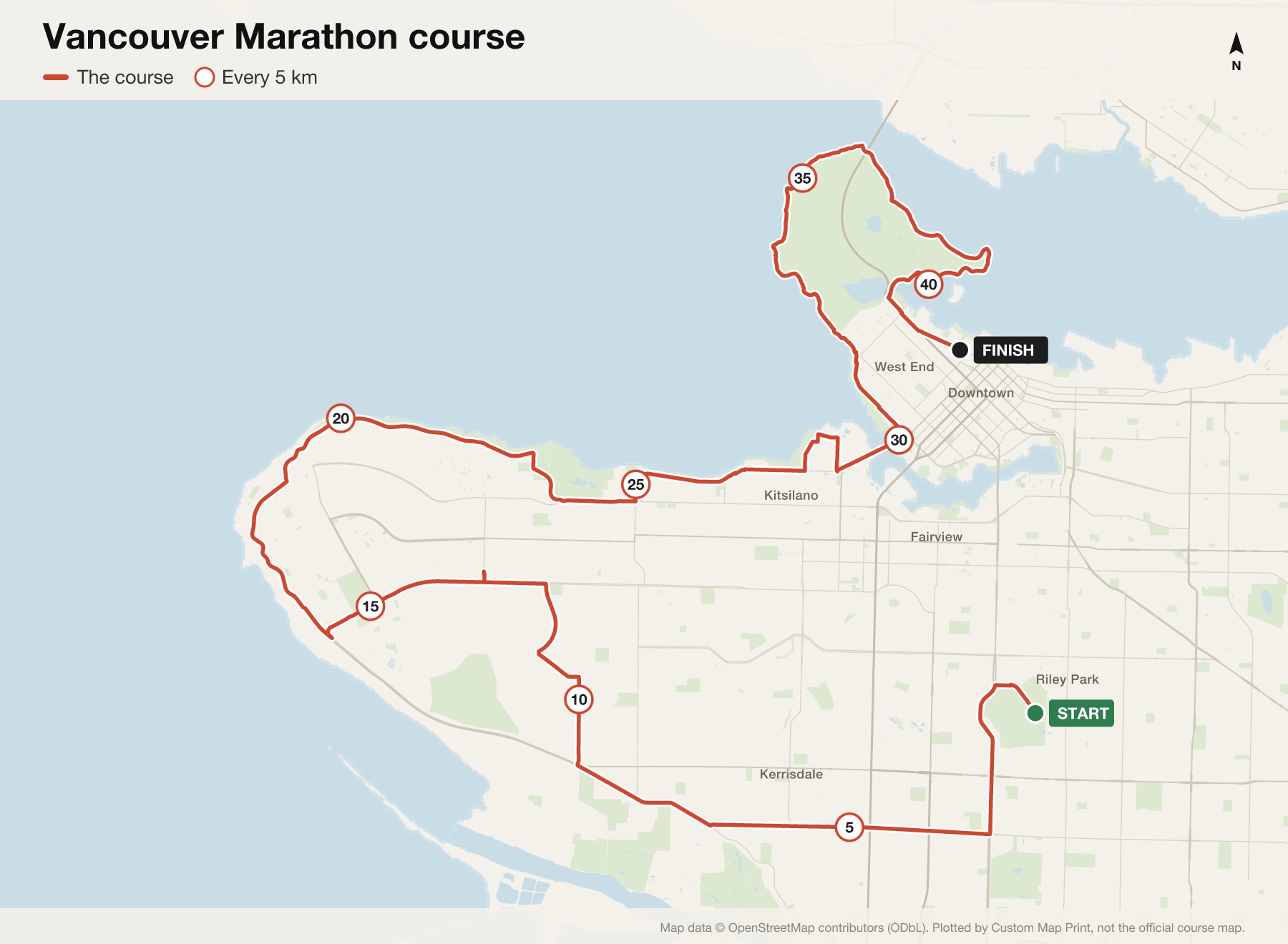
Vancouver Marathon course at a glance
- Distance
- 42.2 km (26.2 miles)
- Start
- Queen Elizabeth Park, Midlothian Avenue
- Finish
- West Pender Street, between Bute and Thurlow
- The hill
- Camosun Hill in Dunbar: 54 m of climbing in 1.2 km
- Time limit
- 6 hours, and 4 hours for the first 30 km
- Next race
- Sunday 2 May 2027
The map is plotted from the published route. Check the organiser's site for this year's exact course.
The Vancouver Marathon route, part by part
- Queen Elizabeth Park to DunbarFrom the park down Cambie Street and west along SW Marine Drive, then up Camosun Hill.
- Pacific Spirit Park and UBCThrough the forest of Pacific Spirit Park on Imperial Drive, a turnaround at Blanca Street, then round the UBC point on SW and NW Marine Drive to halfway at Spanish Banks.
- KitsilanoAlong the beaches on 4th Avenue, Point Grey Road and Cornwall Avenue to Kitsilano Point.
- Burrard Bridge and the West EndOver the Burrard Bridge onto Pacific Avenue and Beach Avenue, and onto the seawall at the Inukshuk.
- Stanley Park to the finishThe whole of the Stanley Park seawall, then Denman, Georgia and Pender Streets to the finish downtown.
Where it hurts
Camosun Hill
The organiser's own named climb: 54 m in 1.2 km, early in the race.
Out to UBC
A long way from the city, with a lot of race still to come.
The seawall
Beautiful, flat and very long in the last 10 km.
Elevation
Rolling in the first half, with Camosun Hill the one the organiser names: 54 m of climbing in 1.2 km. The second half, along the beaches and the seawall, is close to flat.
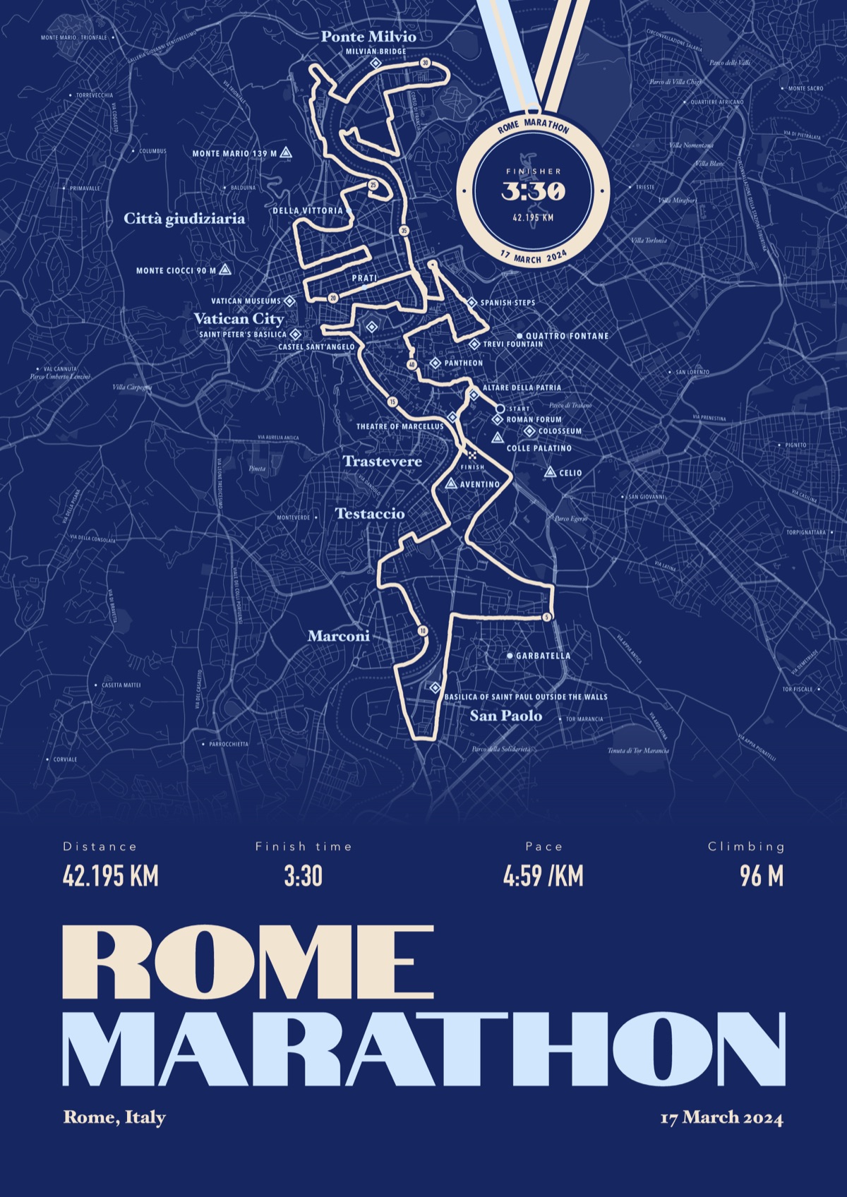
Your Vancouver Marathon, with your chip time
Your own race drawn street by street from your watch, the landmarks named, and your chip time on a finisher's medal hung from the top of the print.
The print shown is the Rome Marathon. Yours is drawn from your own Vancouver Marathon file.
£45 unframed Launch price until 31 December
£55 from 1 January · £99 framed
Free delivery to the UK, US, Canada, Australia and New Zealand
Good questions
Is the Vancouver Marathon hilly?
In the first half. Camosun Hill in Dunbar climbs 54 m in 1.2 km, and the roads round UBC roll. The second half is mostly flat.
Is it point to point?
Yes: it starts at Queen Elizabeth Park and finishes downtown on West Pender Street.
Does it cross the Burrard Bridge?
Yes, from Kitsilano into the West End, before the Stanley Park seawall.
What's the time limit?
6 hours, and you need to reach 30 km within 4 hours.
When is the next Vancouver Marathon?
Sunday 2 May 2027.
Can I order a print before race day?
Yes. Order now, choose Send later, and send your file after you finish.
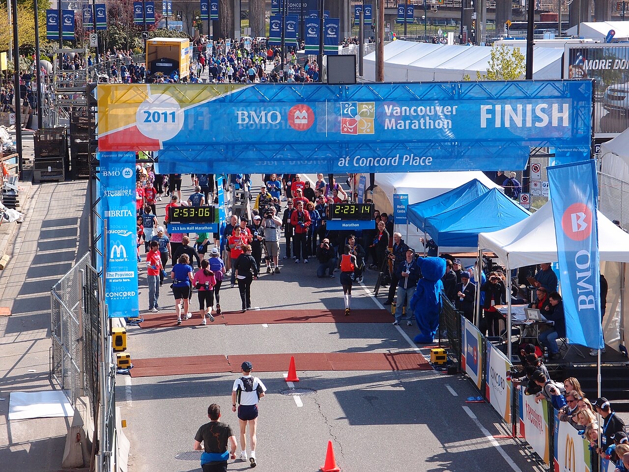
Course details from the organiser, checked September 2026. Custom Map Print is not connected to the race or its organisers. The finish of the 2011 Vancouver Marathon: Guilhem Vellut, CC BY 2.0, via Wikimedia Commons.

More marathon route maps
- Toronto Waterfront Marathon route mapNext race October 2027
- NYC Marathon route mapNext race Sunday 1 November 2026
- London Marathon route mapNext race 24 and 25 April 2027
- Chicago Marathon route mapNext race Sunday 10 October 2027
Marathon route maps · Half marathon route maps · Running prints
You ran it, now frame it
Send your file after the race, add your chip time, and we'll take it from there
Make yours